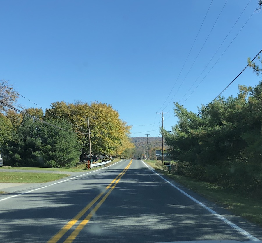
Sometimes I just have to run off. And so, even though I had done little preparation, I headed out to hit the Lincoln Highway in Illinois. Actually, full disclosure, my original plan was to do Illinois and Iowa, but fate had other plans. I was late starting out. Originally I was going to begin at Plymouth, Indiana, and take the second iteration of the road westward. But I thought that instead I had better take I-65 so I could get up there faster. I hit endless construction and delays, finally reaching the 1913 Lincoln Highway east of Merrillville, which I had not driven in some years. Here it is called 73rd Street, and the 2-lane was pleasant enough, with little traffic. The rural-ish road leads through the original downtown of Merrillville when it was just a small town, not the behemoth of sprawl to the south that most people think of when they hear the name.
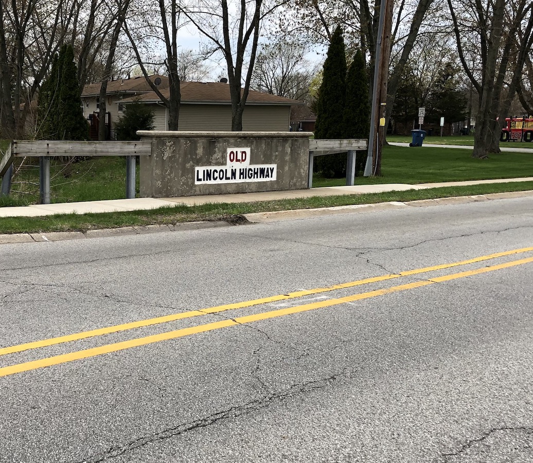
Eventually it makes its way through older parts of Schererville to US30, preparing for its jump from Dyer across the stateline. 30 is six crowded lanes wide here, hardly conducive enjoying the Lincoln Highway scenery, what little is left. Past the junction with US41, where Teibels, a long-lived restaurant, still appears to be thriving, is an Ideal Mile, which the rest of road has caught up with and surpassed. There is also the monument to Henry Joy, but ironically not an inch of space for even one car to stop to appreciate it.
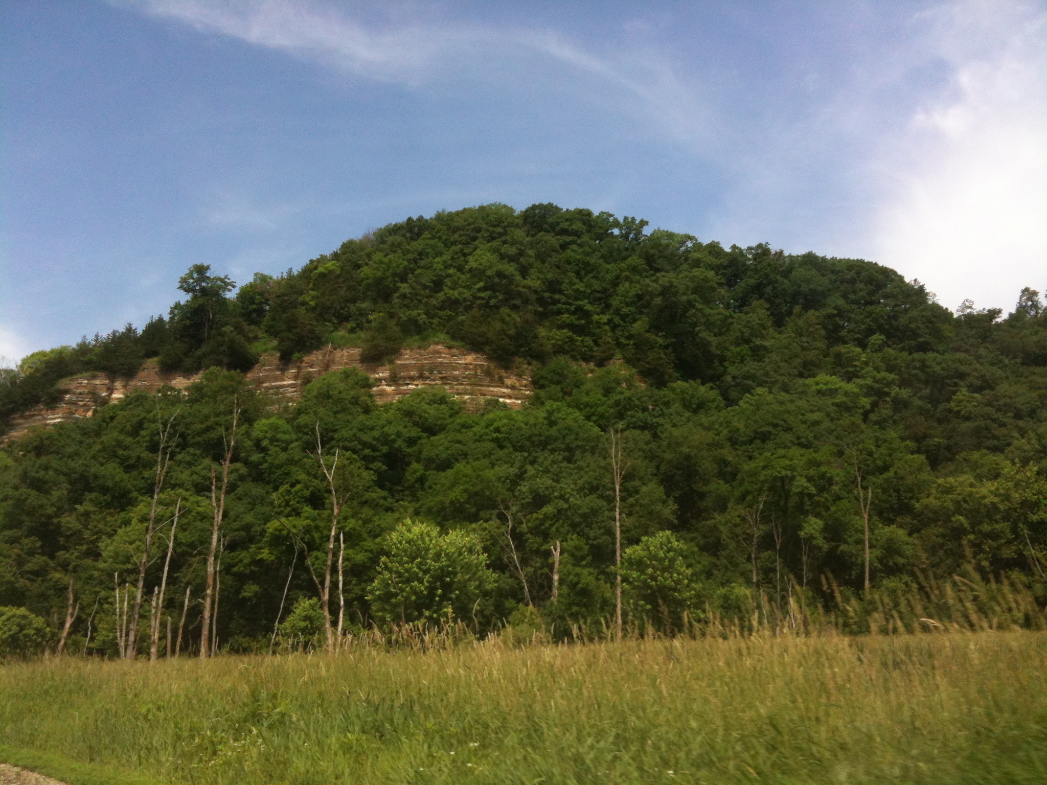
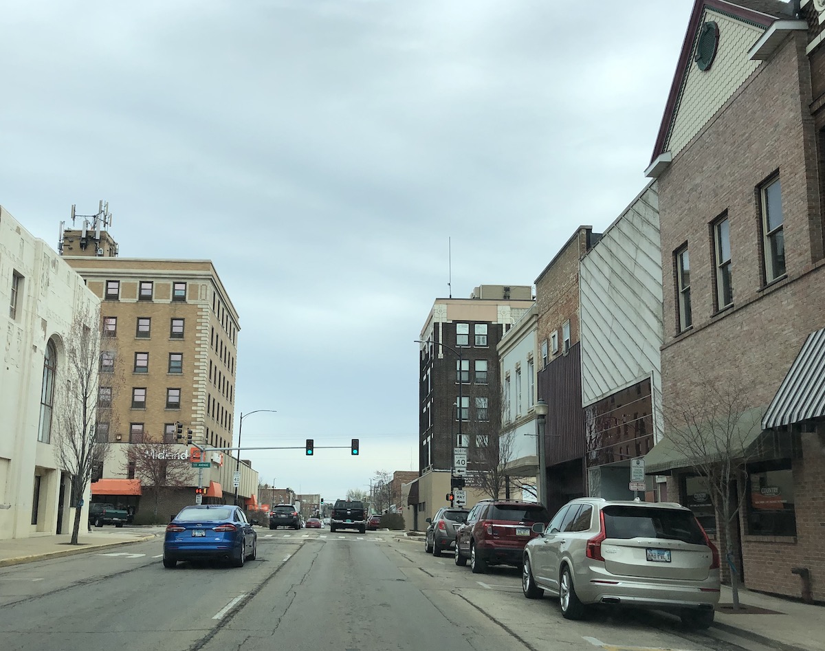
I crossed the border, and soon after US30 turned northward, but the Sauk Trail, the original Lincoln Highway route, continued westward. Ah yes, where the gangsters dumped the bodies (my grandparents lived on Chicago’s southside early on and told me this!) The wetlands are still there–nice to see! No menacing gangster ghosts, at least in daylight. Arrived at Illinois Highway 1 in south Chicago Heights, and for a short time was on the Dixie Highway (or I should say one of the Dixie Highways–it had many fingers) as well as the Lincoln. Turned west with the Lincoln and soon was on six lanes through massive commercial sprawl–very disheartening. Just nothing left of the old road to see, all a blur of wide lanes and endless chains. New Lenox is an interesting old railroad town, though, where I noted one of the many murals celebrating the highway that dot the route.

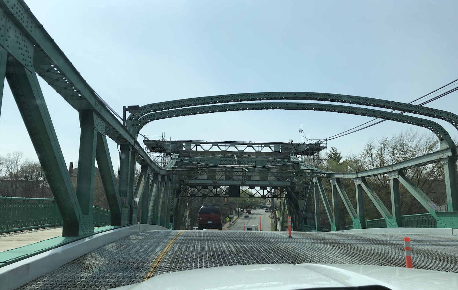
Reached Joliet, crowded with awful traffic, and noted some interesting old buildings that there was no hope of appreciating. Did cross a very cool iron drawbridge built in the 1920s, but my enjoyment of it was marred with construction. After that, with few exceptions, nothing but suburbs and 4-6 lanes.
When I reached Plainfield I drove a bit of the fabled old Route 66. Years ago when I lived in Chicago and worked in radio, a good friend of mine, artist Mary Selfridge, lived in Plainfield. She was just starting out and later rose to some notable heights. Back then, long ago, Plainfield was just a nice small town. Its beautiful commercial district is still largely intact and very upscale now. Gone the agricultural center, where perhaps the wealthier farmers lived after they retired. Now it’s boutiques and coffee shops. But this is a way we save historic downtowns these days. With so much sprawl beyond, it took forever to leave Plainfield, ultimately on the historic route, now Illinois 126. Enroute to Aurora and virtually no open country, immensely unsatisfactory. Am I whining? Well, as I work in historic preservation, all this ungodly sprawl is anathema to me. On my right, the ugliest sort of new houses had just mushroomed in the past year; on my left the land had been farmed only the year before, but this year, who knows? Please, do not tell me there’s a housing shortage.
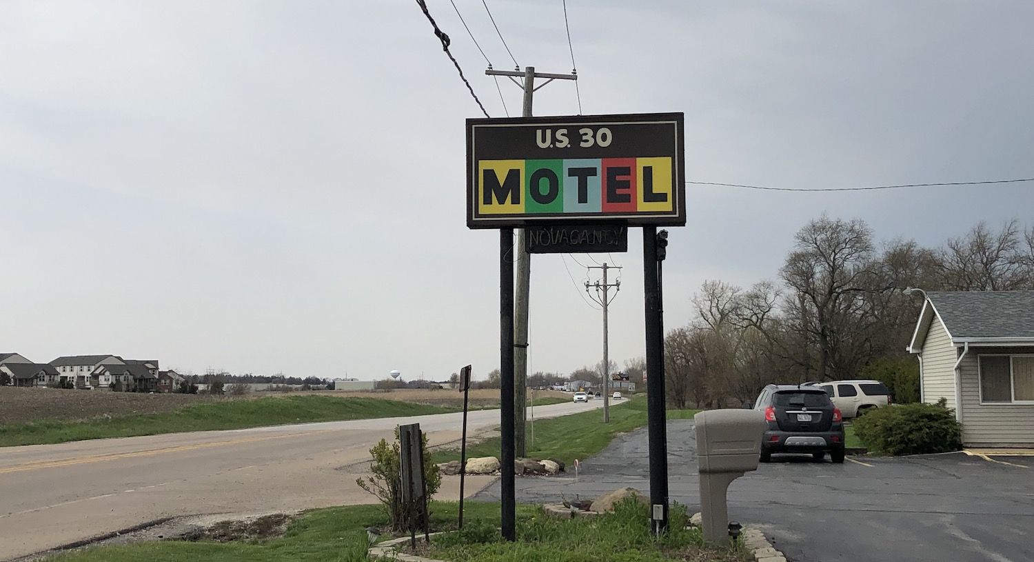
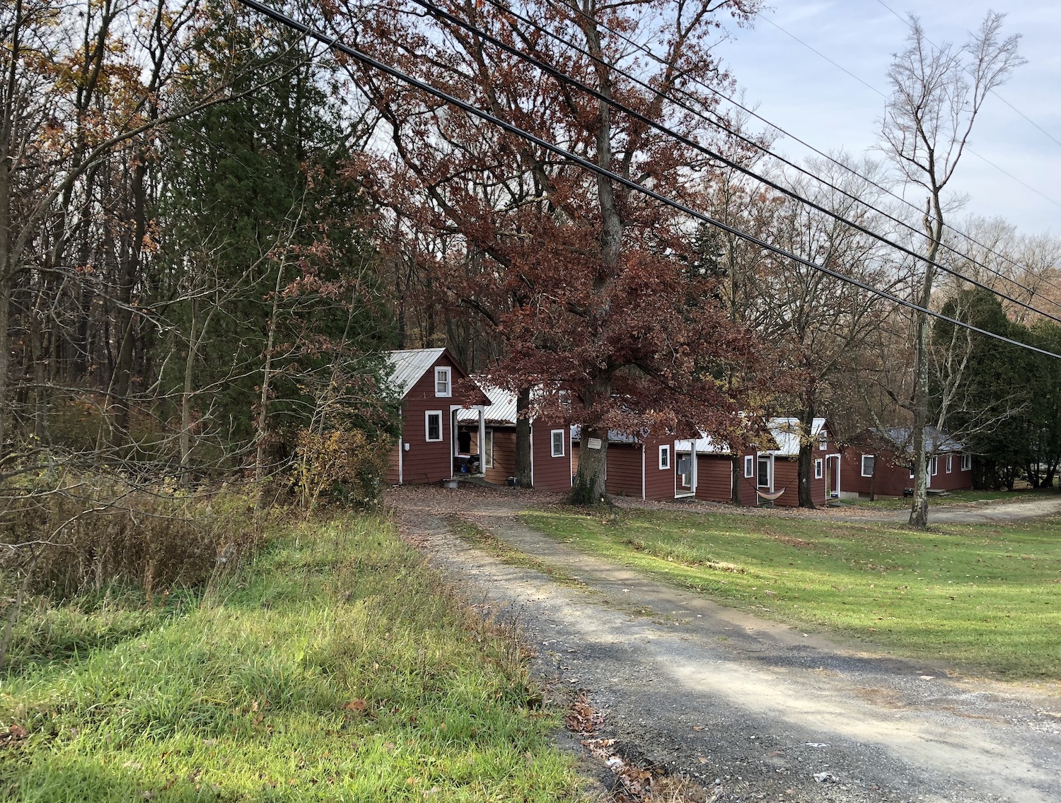
Somehow back on 30 with the Lincoln Highway, Passed a few old motels and cabins whose future appeared in doubt and at last reached Aurora, population now over 200,000! Ay! Not the Aurora I once vaguely knew in my younger years.

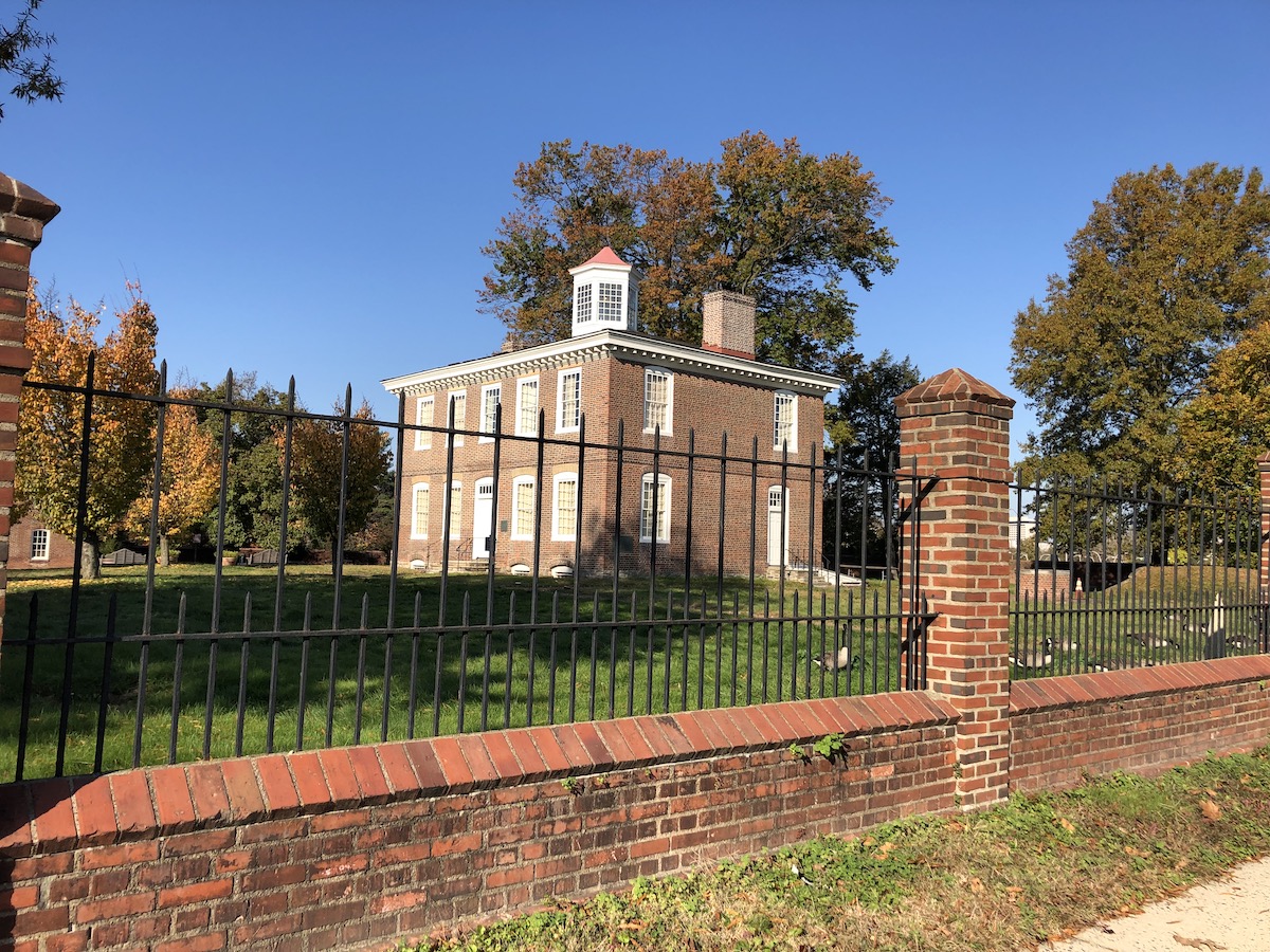
Marked was a Lincoln Highway shelter from the early days of autocamping, now at the edge of a golf course. In opposite corners were fireplace ovens. Stopped for a bit to read the signage placed there. And in North Aurora stopped for a milkshake at Bruno’s, highly recommended! I needed that.
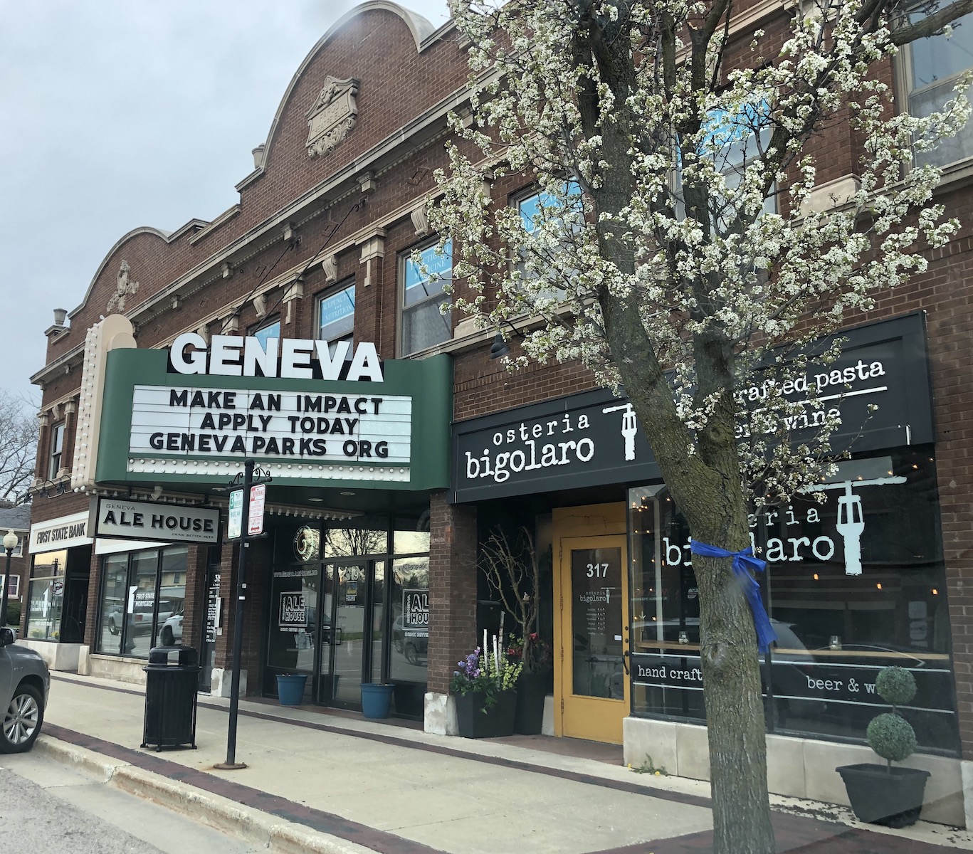
I followed northward the Fox River Valley through Batavia and on to Geneva, past the most magnificent 19th and early 20th century mansions surrounded with large estates. This has not changed much; I was through here many years ago. My mother’s generation-older cousin, whom I called “Aunt,” had married well and lived in St. Charles, the next town north up the river. I remember we visited her on my 12th birthday and she treated me to ice cream, whatever flavor I wanted, at a little shop in Geneva. (I chose pistachio, which then was rather exotic.) I turned westward through the lovely downtown of Geneva. Lovely, but crowded, and the afternoon was wearing on.
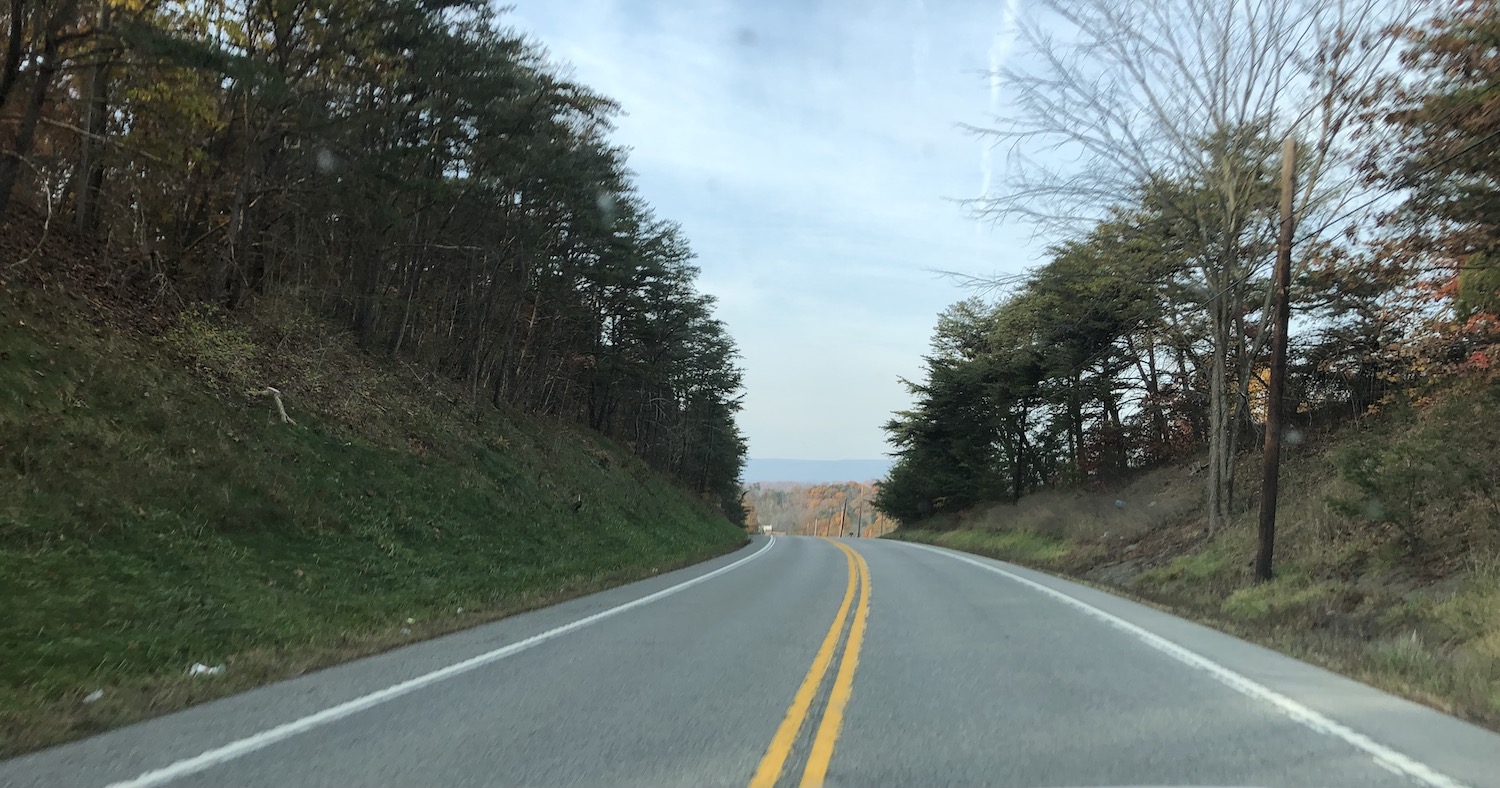
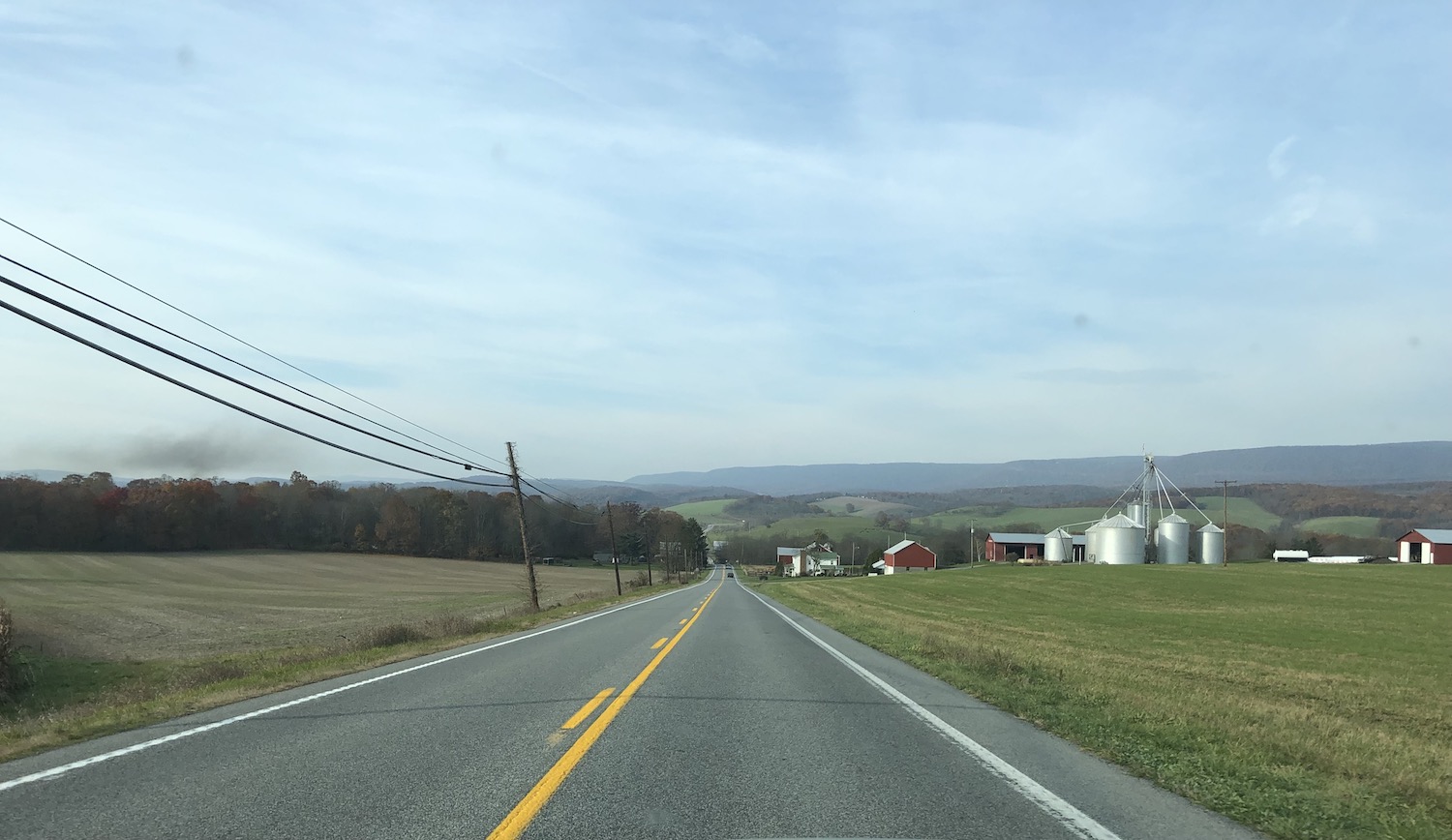
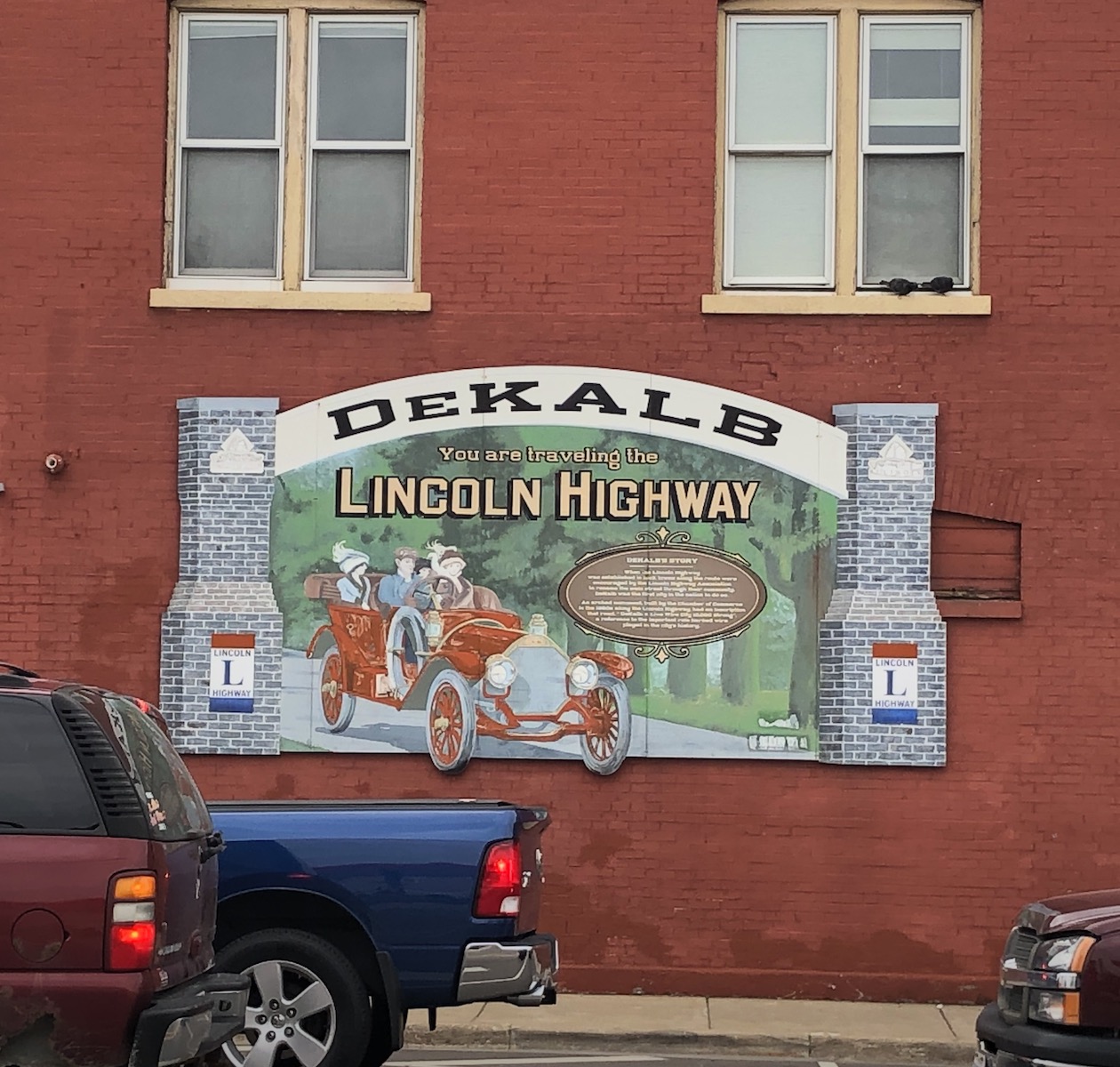
At last, open roads! Endless farms, small agricultural towns at intervals along the road like beads on a chain. The REAL Lincoln Highway. The hour was late but the threatening clouds had mostly given way, so I felt hopeful of making the Mississippi by dark, my new goal. Reached DeKalb, a city worth exploring more. Decades ago, in my afore-mentioned radio days, I had made a public appearance at a dance at Northern Illinois University here. Likely I had driven I-80 to get here; of course, I did not recognize anything, but did pass the campus and spotted another Lincoln Highway mural.
The road soothed me; this was much more like it! Eventually I reached Rochelle, where I had been before a couple of times.

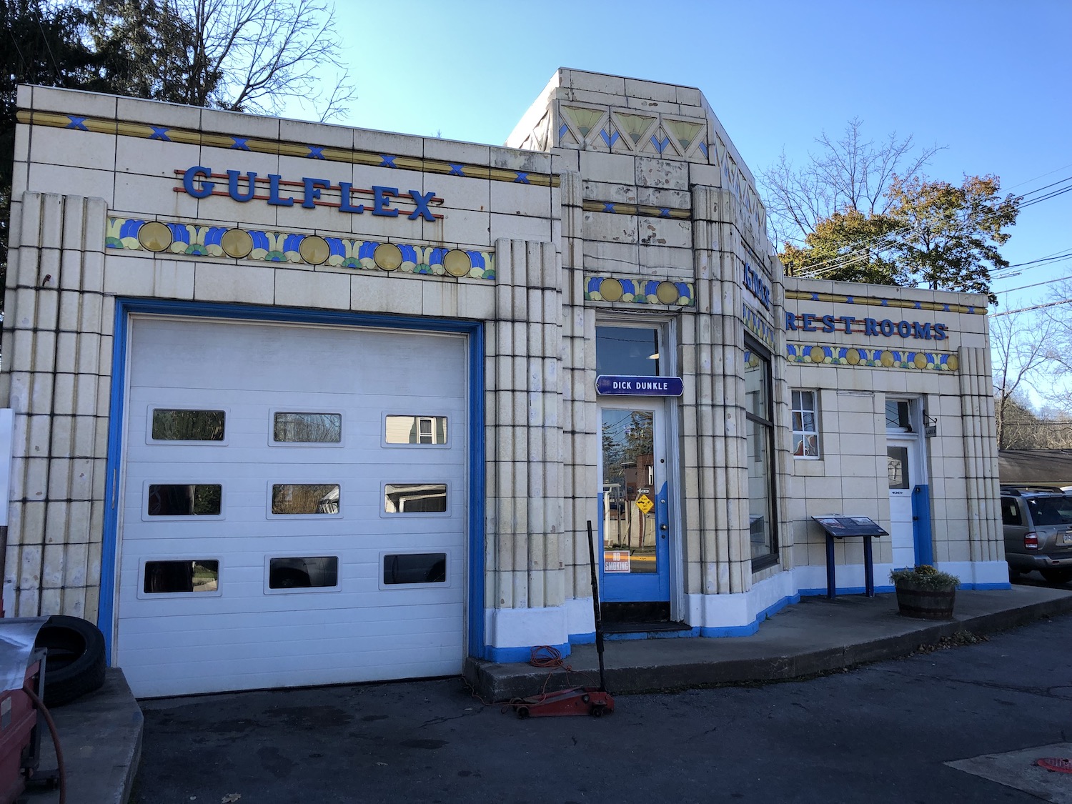
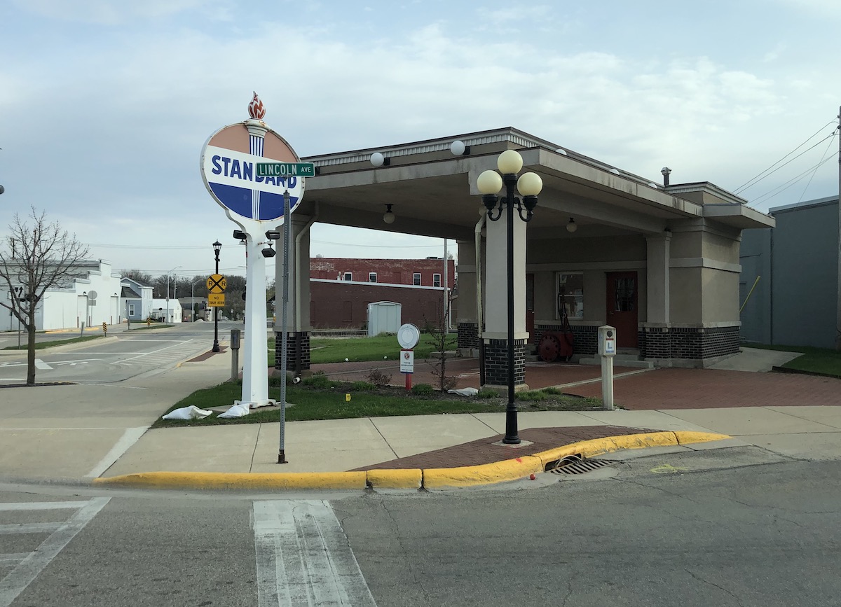
Another mural, and of course the iconic gas station, happily marking a turn of the route back westward.
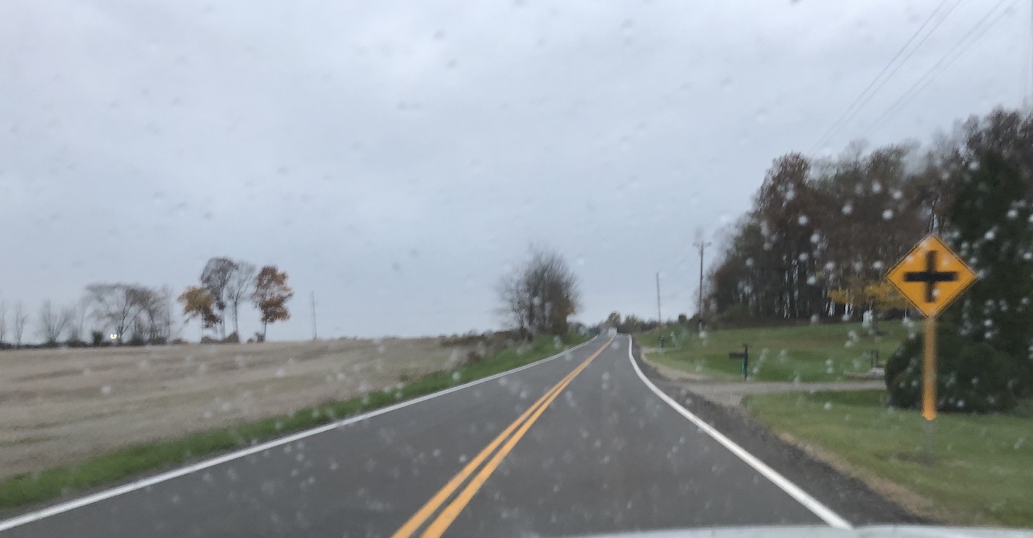
Just a little out of town is a roadside park–probably built by the New Deal in the 1930s, as so many were–at a place where another road meets the highway at an angle. What a nice old road, very rural, paved with old concrete that’s doing just fine, thank you. I noted daffodils blooming in several yards, while back in Indy ours are all done. Waves of spring. About here is where I started seriously thinking about making the Mississippi River my goal and heading back next day to catch what I missed going out. (And plan for Iowa another time.) Spend more good road time–and find a route back to Indy far away from the greater-greater Chicago mess.
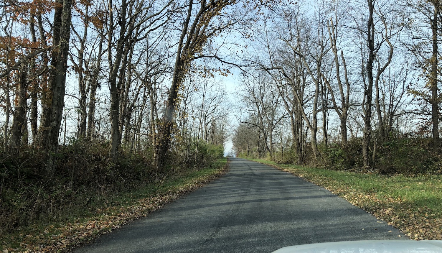
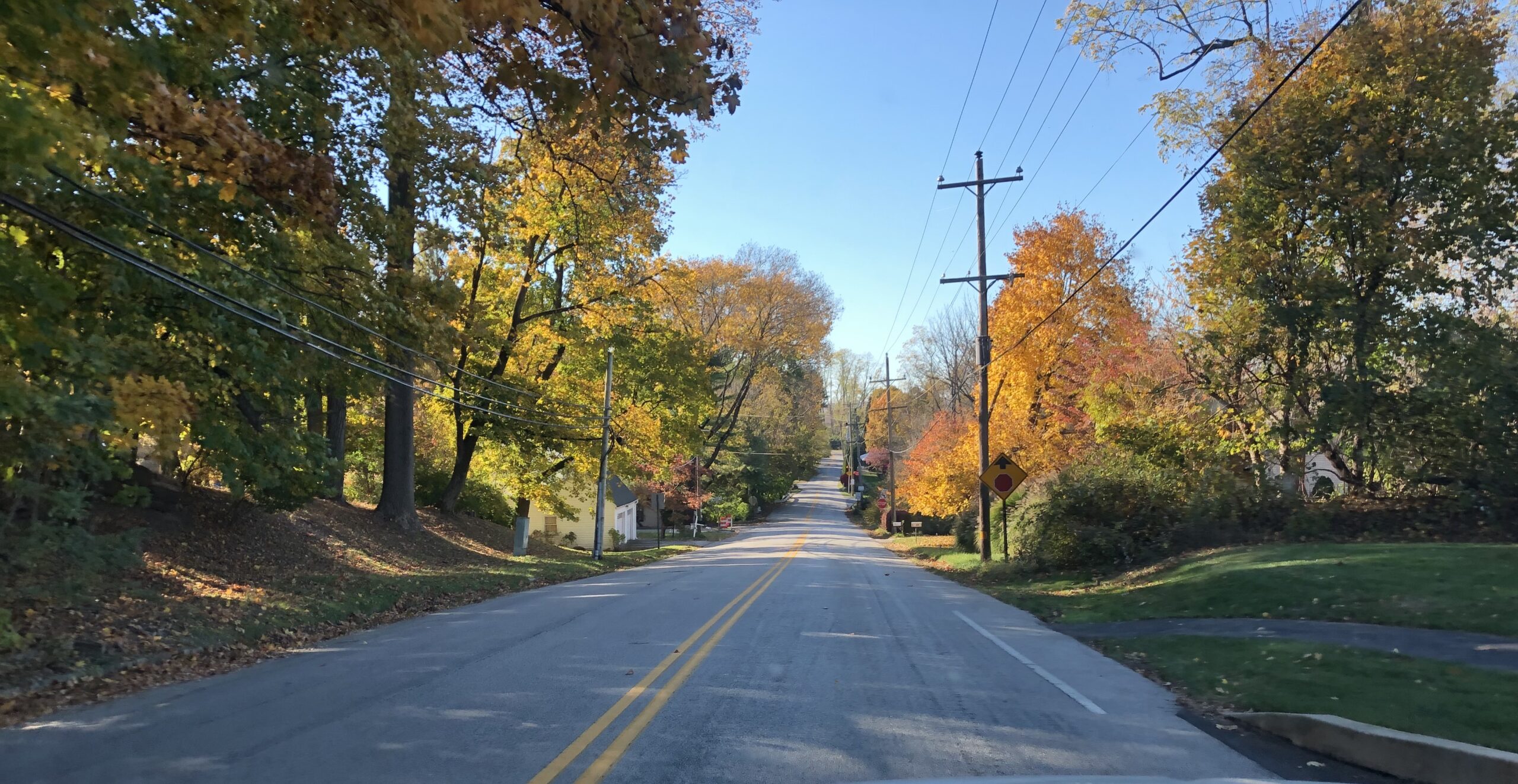
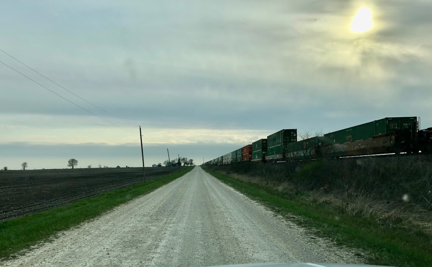
Continued on through the tiny town of Ashton, struggling a bit to keep to the route here, when I turned onto the aptly named Track Road, which runs straight and true along the railroad and was the Lincoln Highway’s original route. It was gravel still, and I was enchanted. In my mind my Ford Ranger morphed into a Model T. The train running alongside carried some types of cars a T wouldn’t have recognized–and no doubt the crop fields were surrounded by fencing 100 years ago, but–close enough!
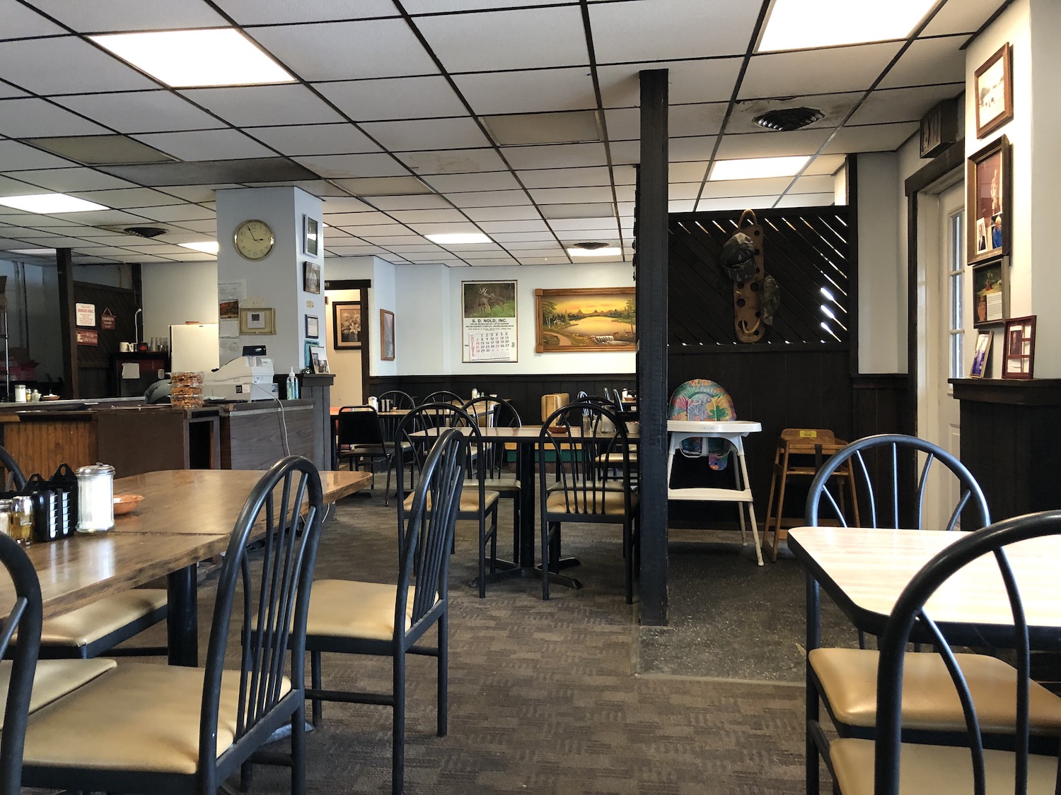
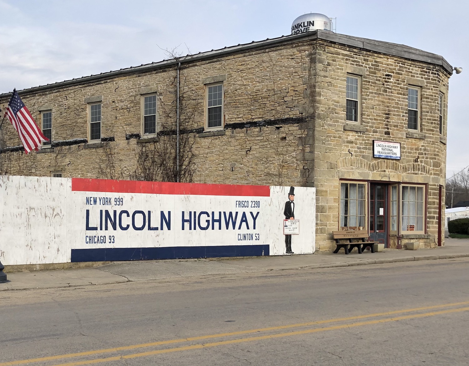
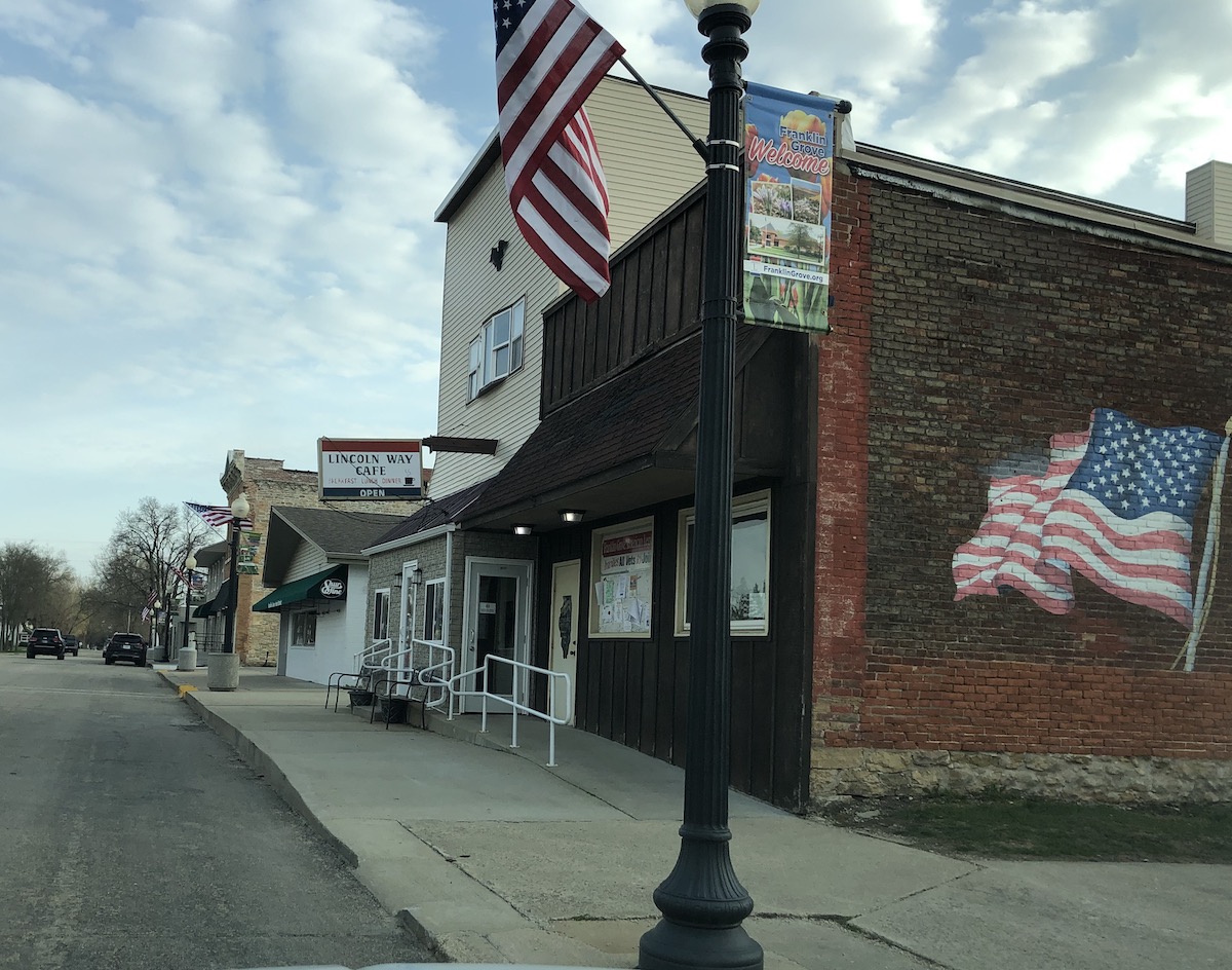
Soon arrived at Franklin Grove, with the national headquarters of the Lincoln Highway housed in–what else–the Lincoln Building, which actually was constructed by a distant cousin of our revered Abraham. It was closed, unfortunately, as was the Lincoln Way Cafe, which appeared definitely to be my kind of place. Oh well, I thought. I will catch these on the way back tomorrow.
Onward through Dixon, through its famous Victory Arch. These arches built on the main drag were not uncommon in small towns in the early 20th century (whether to commemorate victory in the World War or simply to boost the town), but few survive. Dixon has made a decision to keep its iconic structure, which is now in its third or fourth iteration. Dixon boasts some wonderful buildings downtown, but in truth, I had simply had it with cities. Besides, the sun was descending.

Onward to Sterling, another city and worse, lots of sprawlmalls. Westward Ho!

It was barely still daylight but Iowa was within reach. The route here was a little confusing and I turned onto 136, but before I got into Fulton proper I THOUGHT I saw a sign that the Lincoln Highway turned south and ended up crossing the US30 bridge directly into Clinton.
Tomorrow was another day! Just at dark I found the Timber Motel, right on the Lincoln Highway, with an incredibly spacious, clean, and reasonable room. The only typical amenity missing was coffee, but I wasn’t complaining. I later learned that this motel is a favorite of Lincoln Highway scholar Russell Rein.

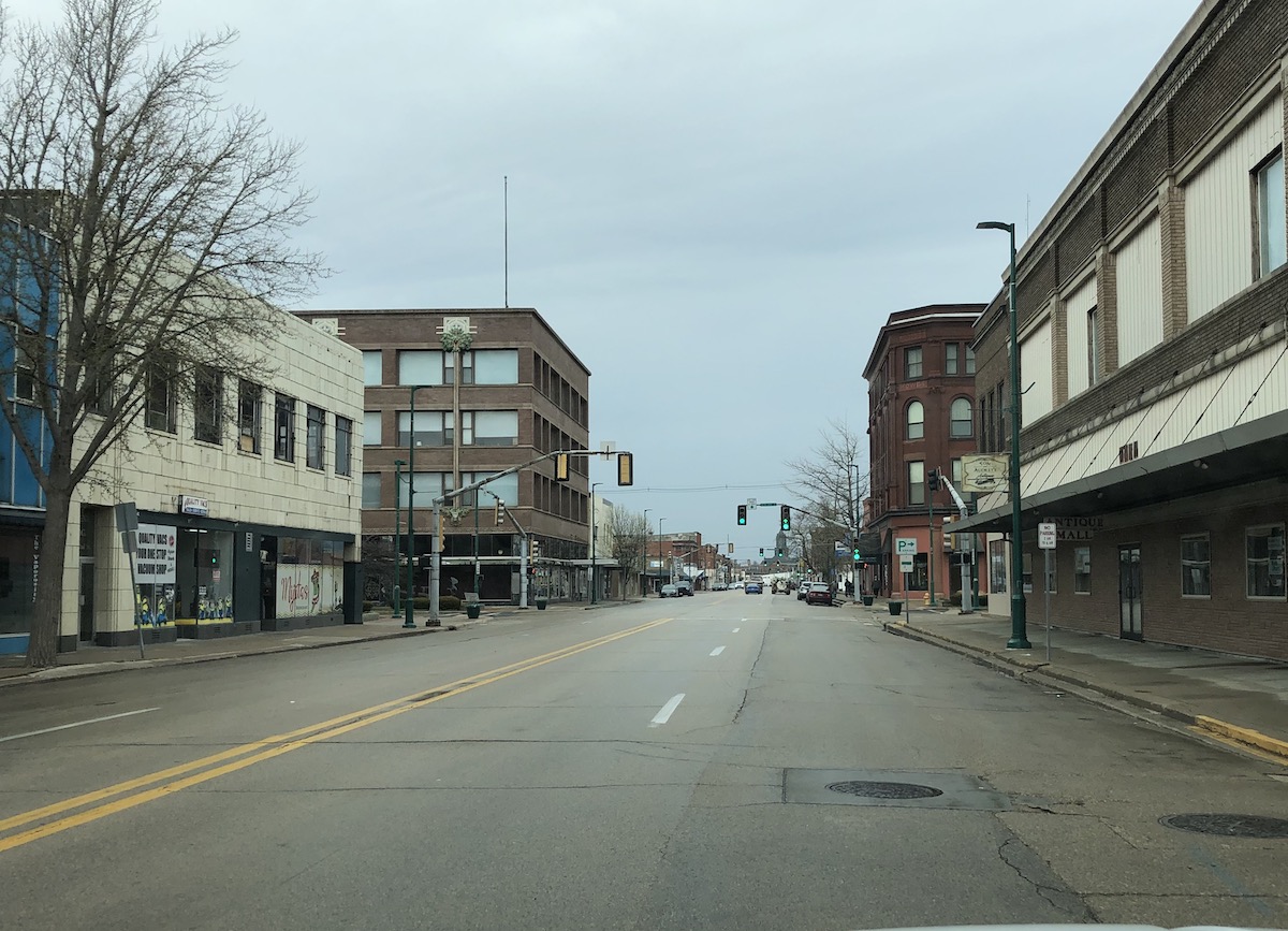
In the morning I headed back into downtown Clinton, which has a lot of great buildings that are largely empty, unfortunately.
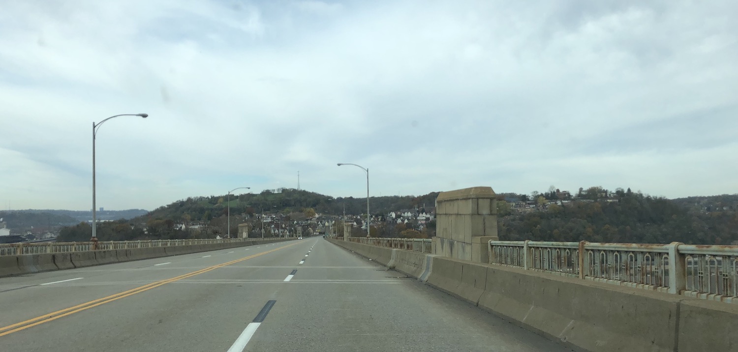
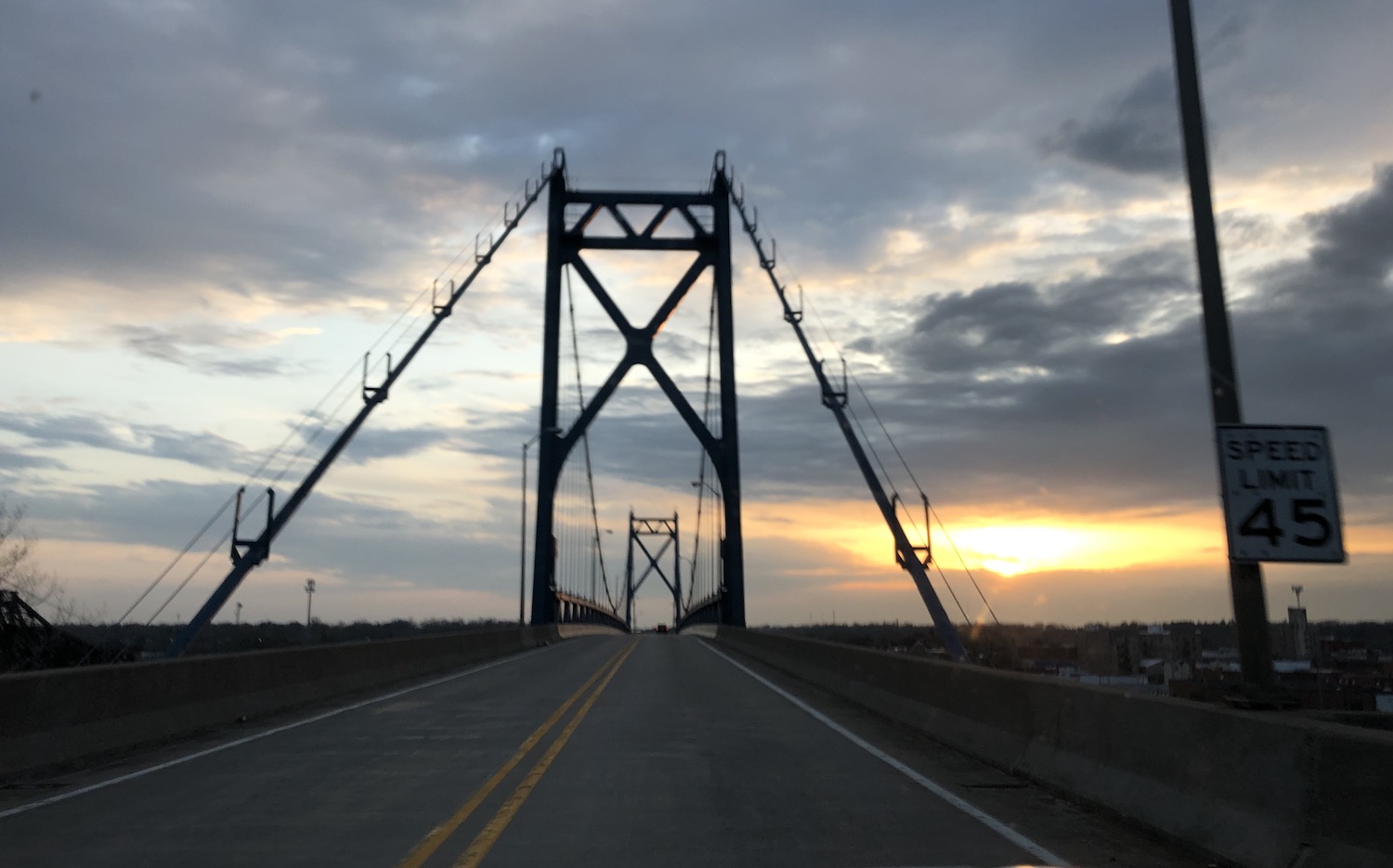
I was paralleling the river northward when I came to the huge historic courthouse, and shortly after, the 136 bridge, which is a few blocks south of where the original Lincoln Highway bridge was. Both bridges across the river (US30 and 136) rise up from the bank toward the supports; both are two-lane. Let’s just say I was glad there wasn’t much traffic at either crossing.

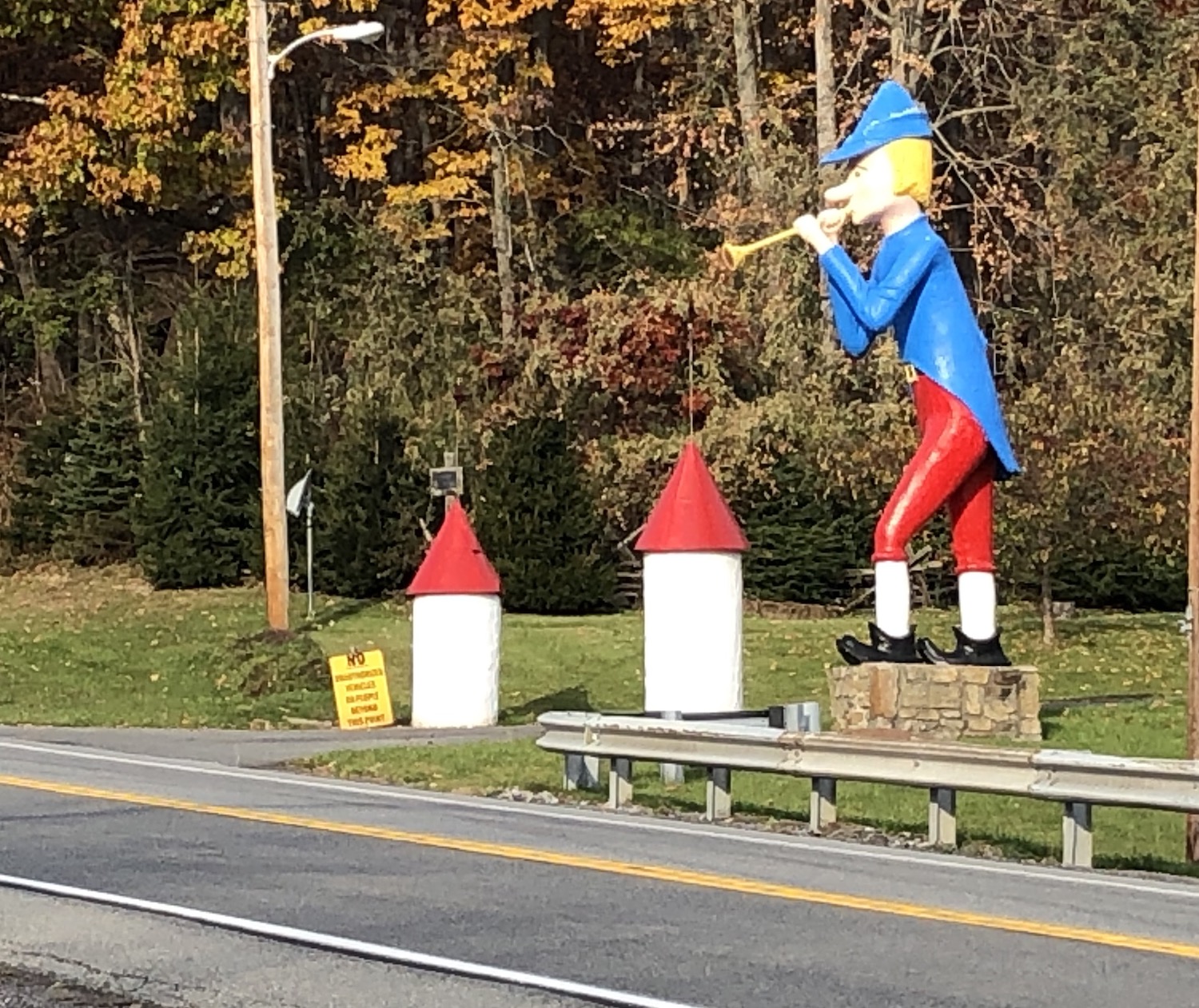
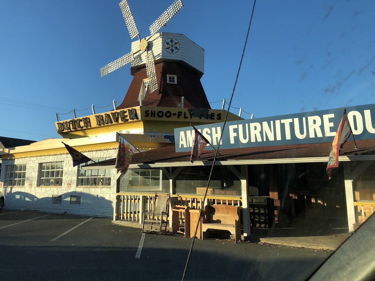
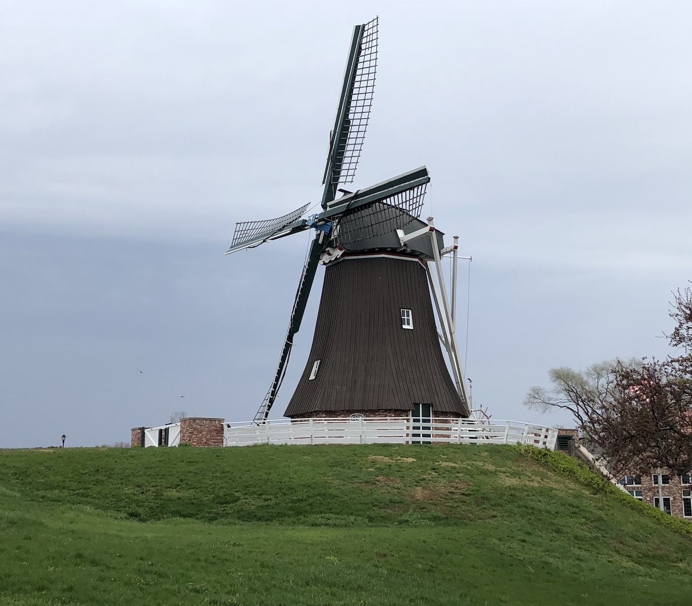
I was instantly attracted to Fulton, which is very proud of its Dutch heritage, featuring whimsical sculpture in several places and an honest-to-goodness Dutch-built windmill standing right where the approach to the old Lincoln Highway bridge had been.
Walked a bit on top of the levee along the mighty Mississippi, which is more narrow here than one might expect and thus a good place for a ferry and to locate a town, and that is its origin story.
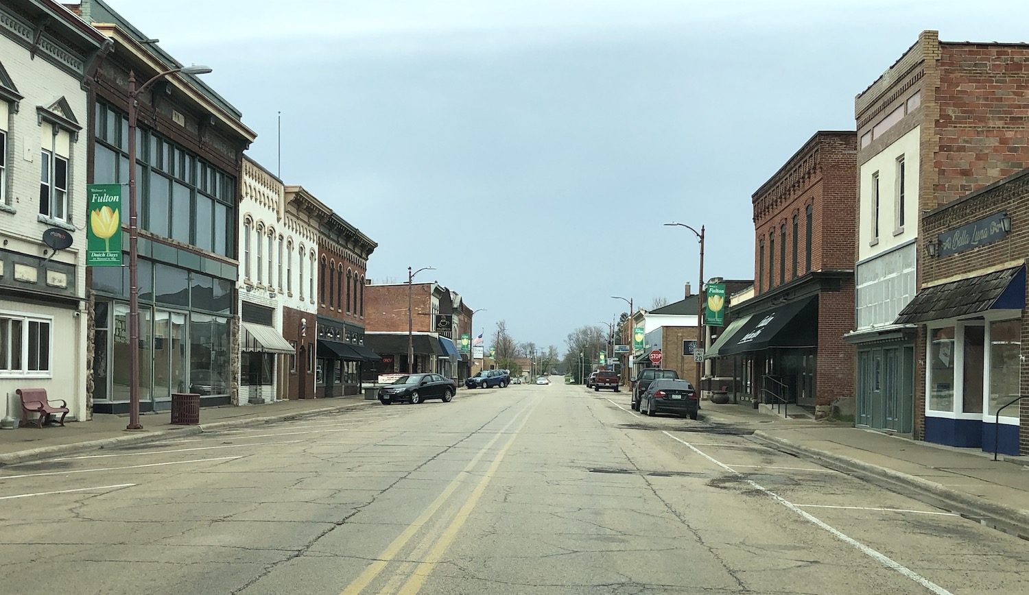
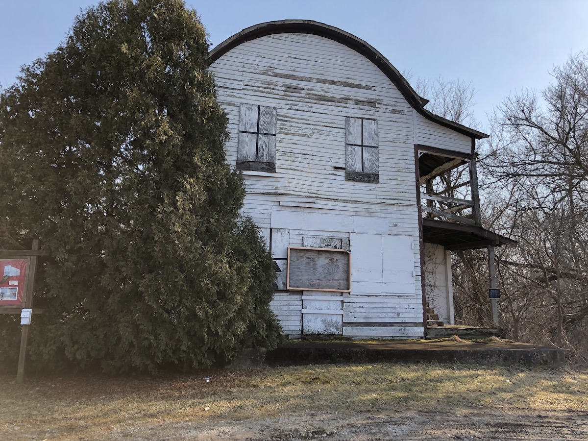
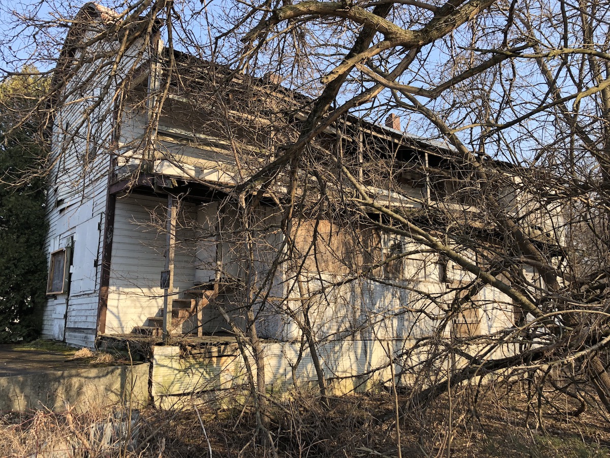
The town was clean and attractive, and I spotted a very nice bakery and restaurant–Krumpets–perfect for breakfast. And oh it was! As I entered, the 1940s tune “Ruby” was playing, one of my mother’s favorites. (Yes, she’s have liked this place, too.) I wandered about for a bit then returned to the Lincoln Highway and took a few minutes to check out a hamlet, Union Grove, that was bypassed by the construction of a bridge over railroad tracks. Passed through Morrison, which I barely remembered from the night before, and much bigger than it appeared because the Lincoln Highway runs a block north of the extensive and very historic downtown. Arrayed on a bluff above the highway itself are mansions galore, each more fabulous than the last, in an assortment of 19th and early 20th century styles. This town had some money, and judging by the excellent condition of the historic downtown, still does. Having just spent quite a lot of time in Fulton, I left exploring Morrison for another time. Not far eastward was a former roadside park now abandoned and fenced off.
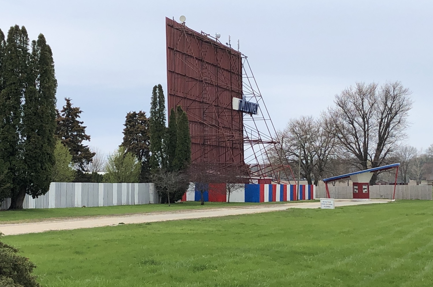
My disregard for cities had not abated when I reached Sterling, but I did look around a little and discovered an odd thing: what had once been quite a lovely park on an island in Rock River, a great picnic spot (at least at one time) and numerous abandoned buildings. I wonder why this lovely place, I believe called Lawrence Park, is not kept up? Onward on the original Lincoln Highway route, Palmyra Road, which I’d missed going west. Near Prairieville was the Midway Drive-in movie theater, still in use. (Midway between Sterling and Dixon, I assume.)
Always great to see those still going. I was enchanted at a whimsical herd of Holsteins fashioned from old gas tanks and stopped at the business, Palmyra Greenhouse, for a souvenir plant. (It’s doing fine.)

Back through Dixon, under the arch. Only many miles later did I realize I’d forgotten to seek out the famous Lincoln statue there.
I reached Franklin Grove, eager to visit the national headquarters, to discover it was open only on weekends. Well dang! That’s when I try to avoid traveling. I did stick my head into the Lincoln Way Cafe, but was still so stuffed from the fabulous breakfast in Fulton that I simply couldn’t eat anything.
Back along the Track Road, which delightd me so, to Ashton and on to Rochelle. There I went south a couple of blocks to see Railroad Park, where two main lines cross in an X. There was signage explaining the history, a shelter–all in all an attractive place. I pondered what next to do; the farther east I traveled, the fewer viable options heading south I had: I simply could not face all that Chicago sprawl again. I elected to take the interstate south from Rochelle, but what a miserable experience, sucking away all my Lincoln Highway joy! Eventually I got off and took Illinois 116 eastward, and it was heavenly, running straight and true through the former prairies on old over-engineered concrete, endless fields and farms, even crossing Route 66 at Pontiac. Everything spoke to me. I reached US52 and took it almost all the way home. How I love old roads, three-dimensional historical documents spinning out their stories.