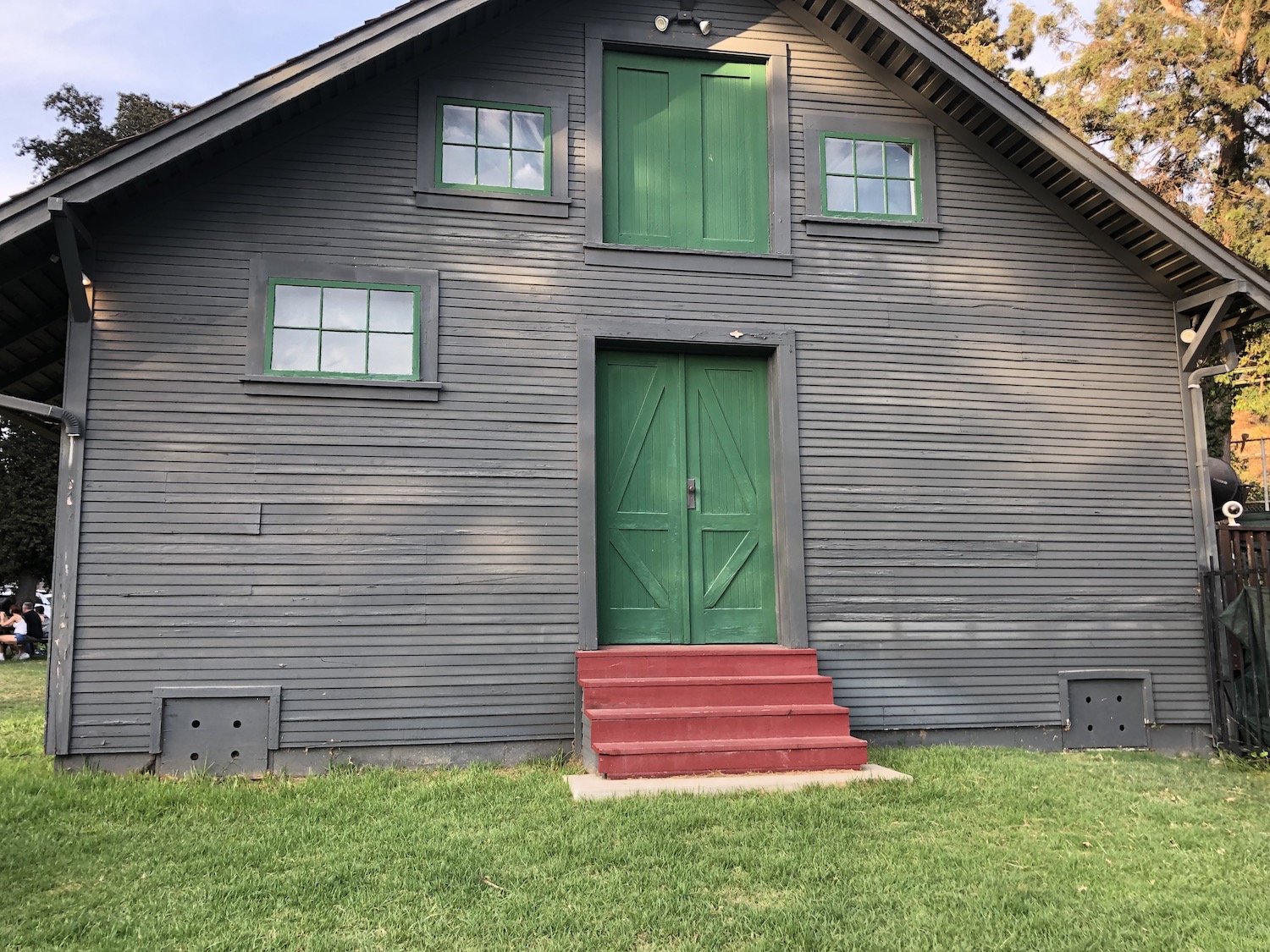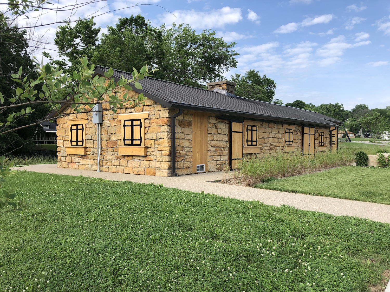
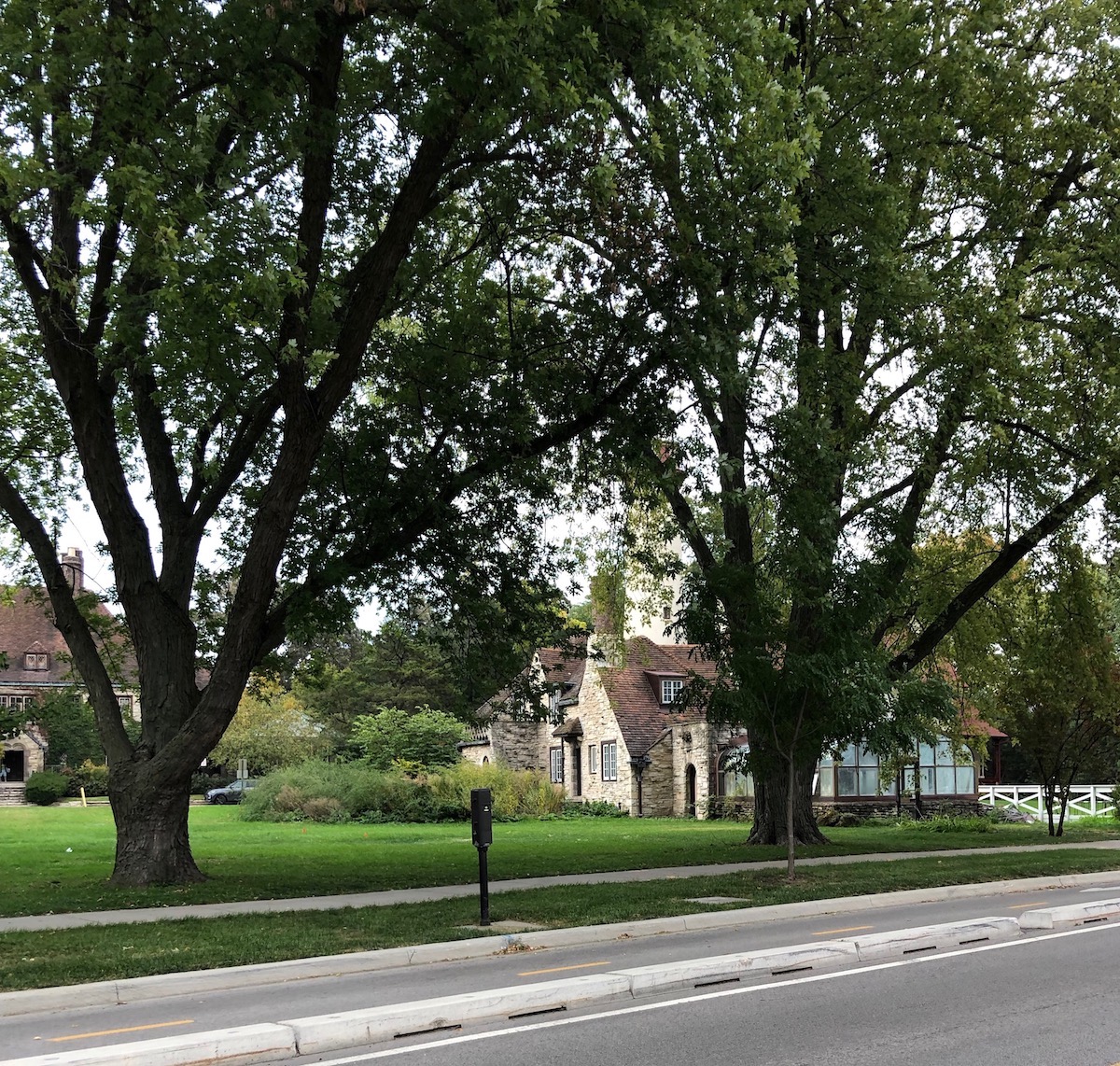
So I awoke on yet another gorgeous fall day rather far–well, perhaps 5 miles–from the Lake, but in a beautiful old farmhouse rehabbed and enlarged by my friend, a colleague from long ago, and his wife. After some bracing coffee and conversation, he offered to give me a tour of nearby Cedarburg. The town boasts eight National Register listings, including the main street district and the Wittenburg Mill, which dates to 1864. Poignantly, this undeniably charming town was a destination my mother had read about in her later years and suggested we should visit someday. This is for you, Mom. Established in the mid-19th century, the majority of Cedarburg’s historic buildings are constructed of the local limestone–others of a yellow brick produced locally as well–and built to last! Milwaukee is only about 20 miles away but this is another world.
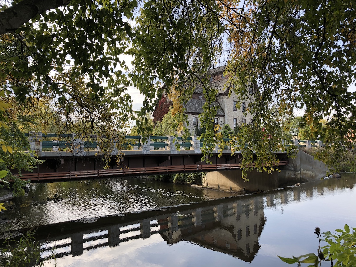
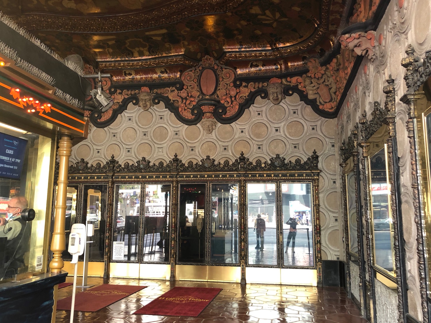
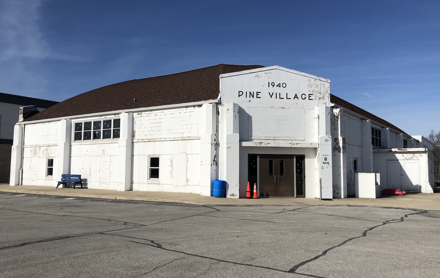
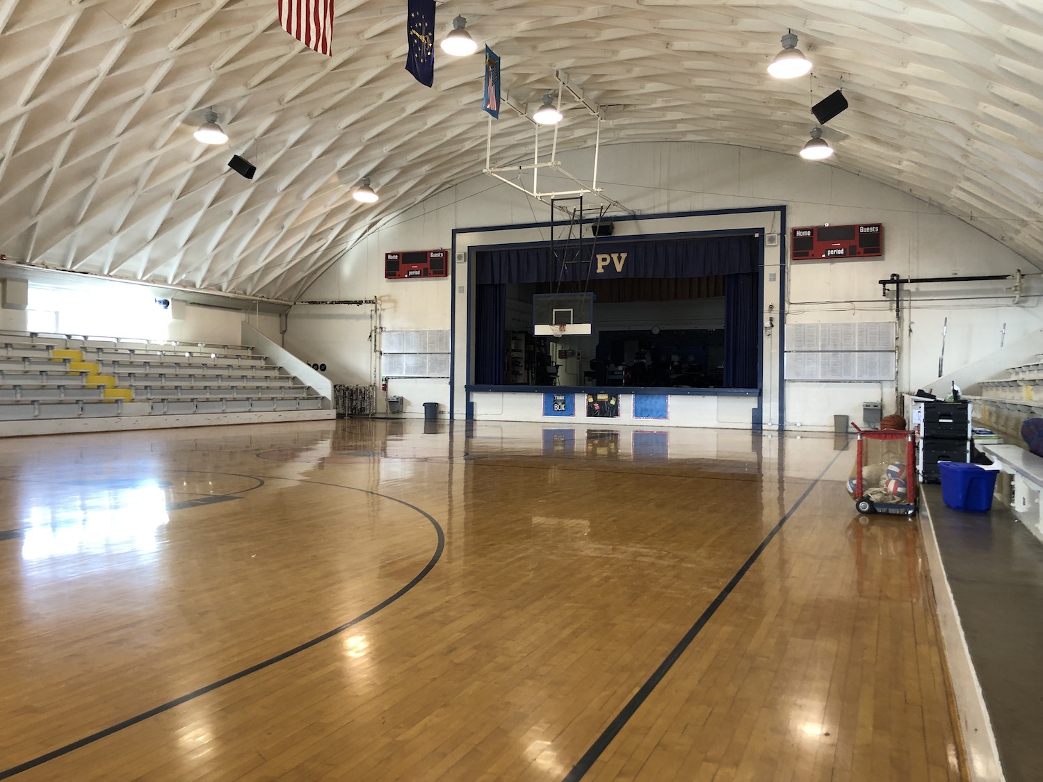
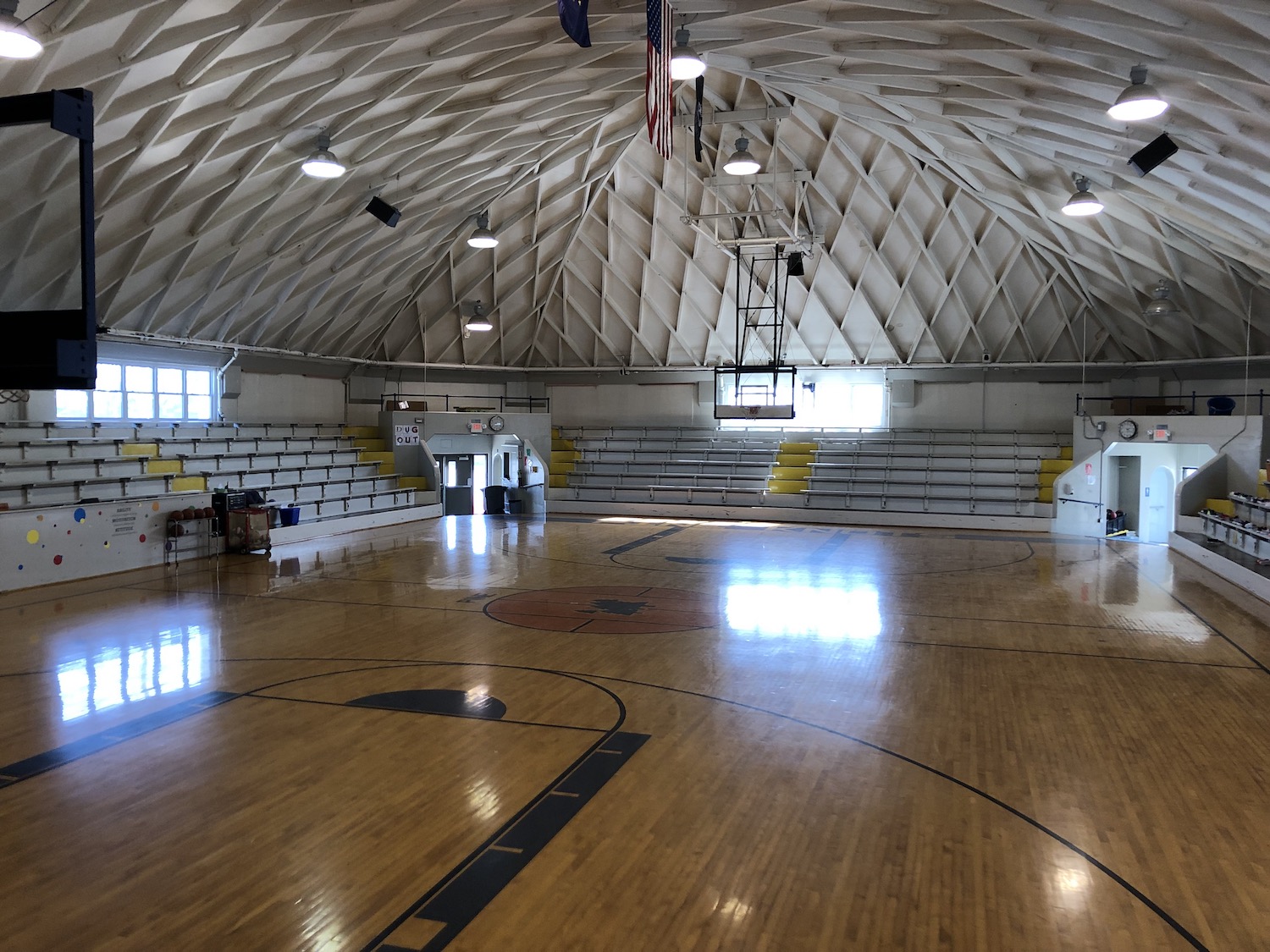
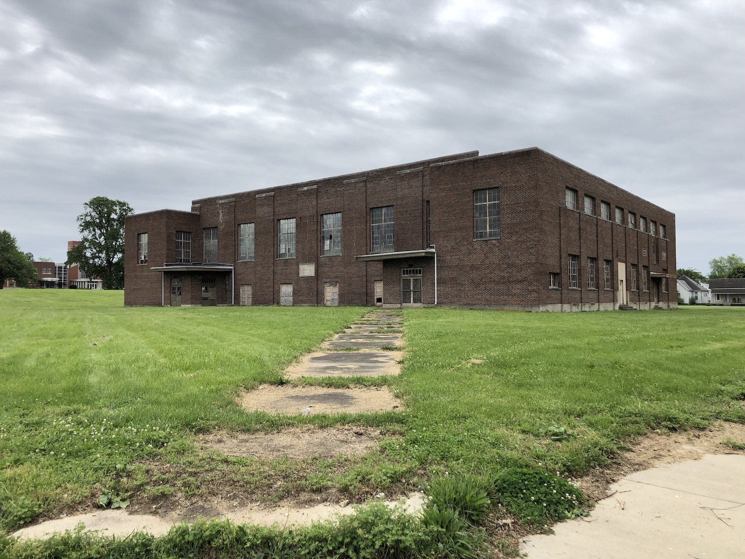
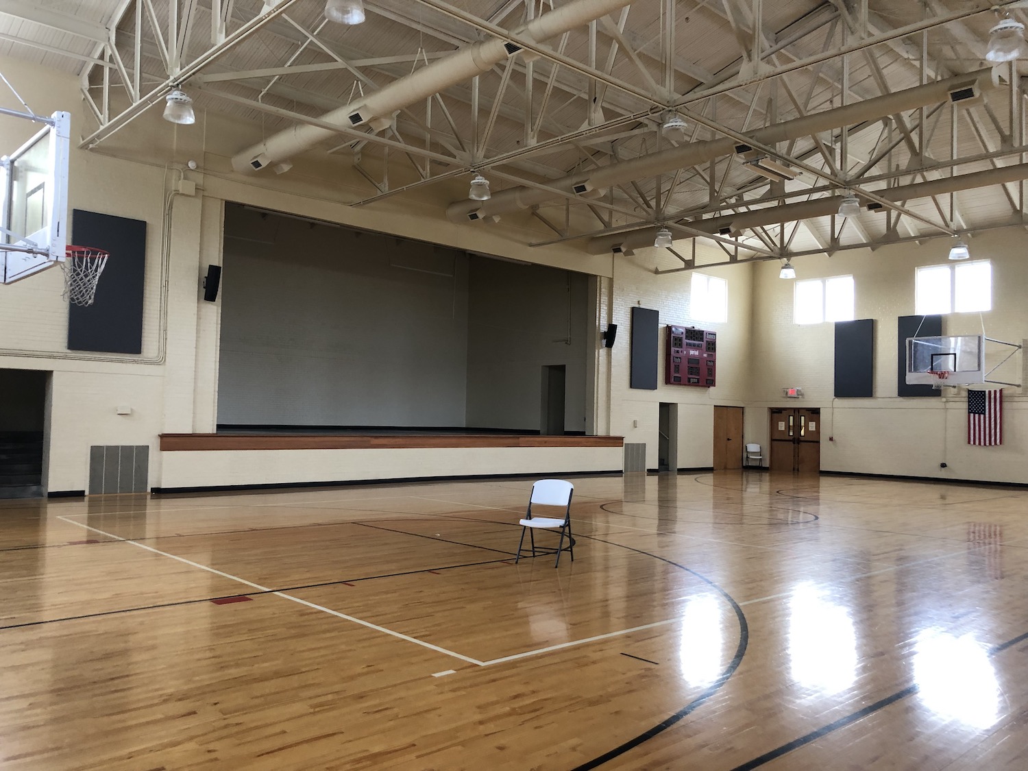
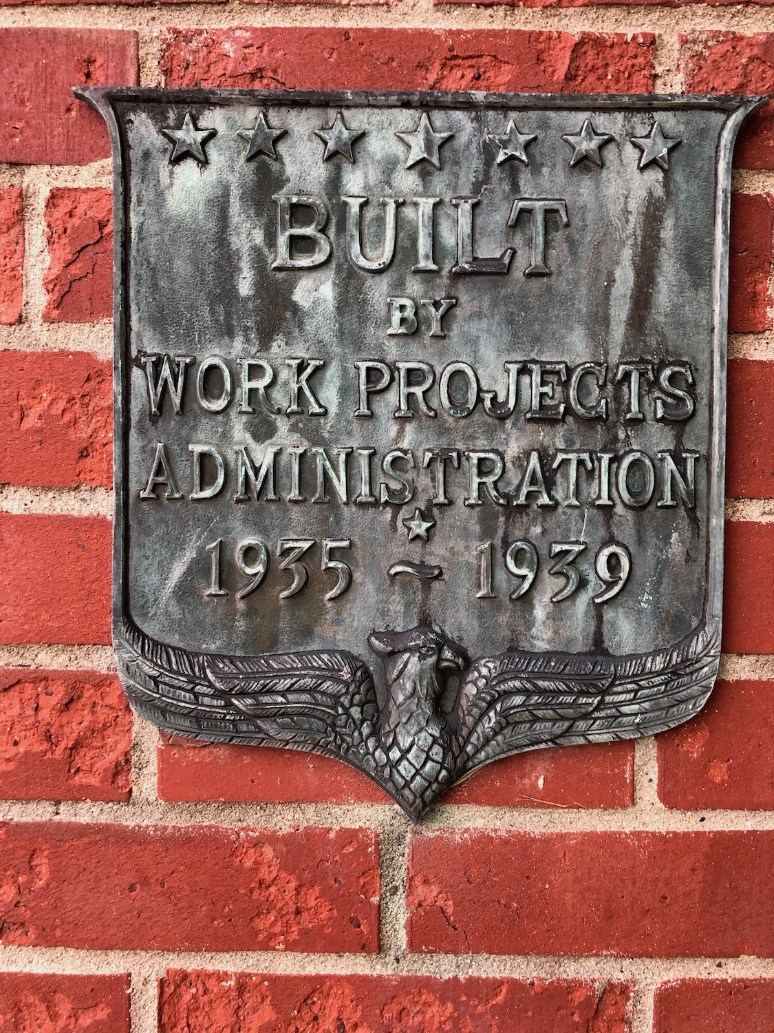
Alongside the downtown, the morning sun glinted off the ripples of Cedar Creek below the mill dam. It was a perfect fall morning, the town’s many trees well into early autumn mode, singing with the thousands of flowers that bedecked the town. And the buildings! From the 5-story mill to a high-style former gas station to an art deco theater to a New Deal gymnasium, so many structures to love!
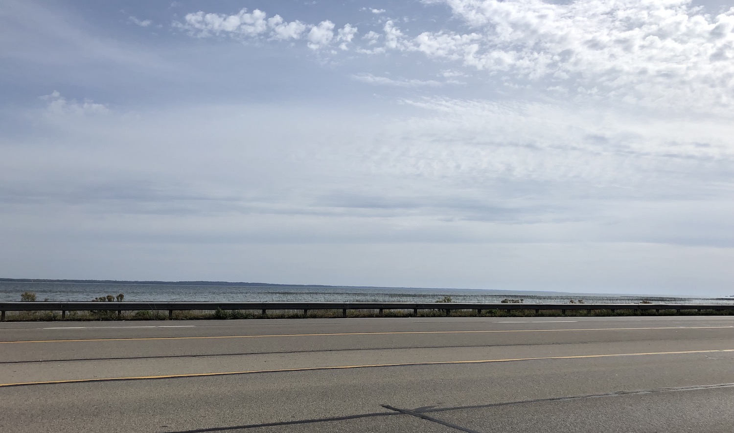
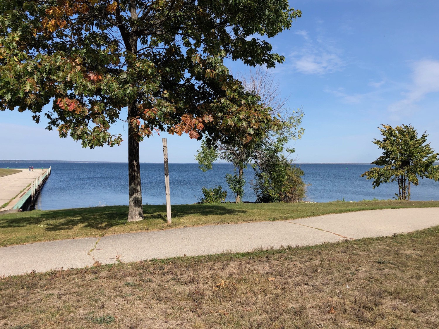
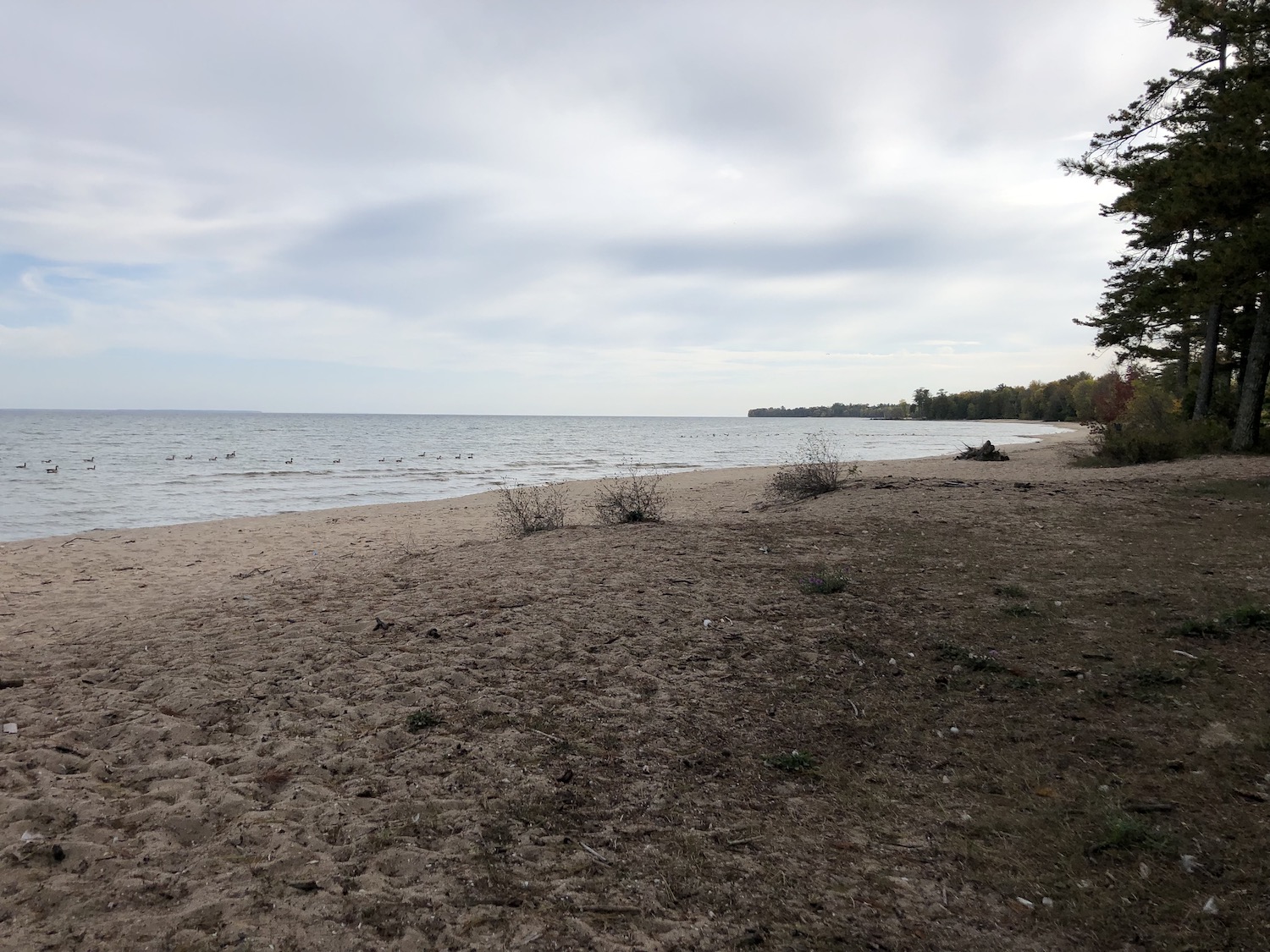
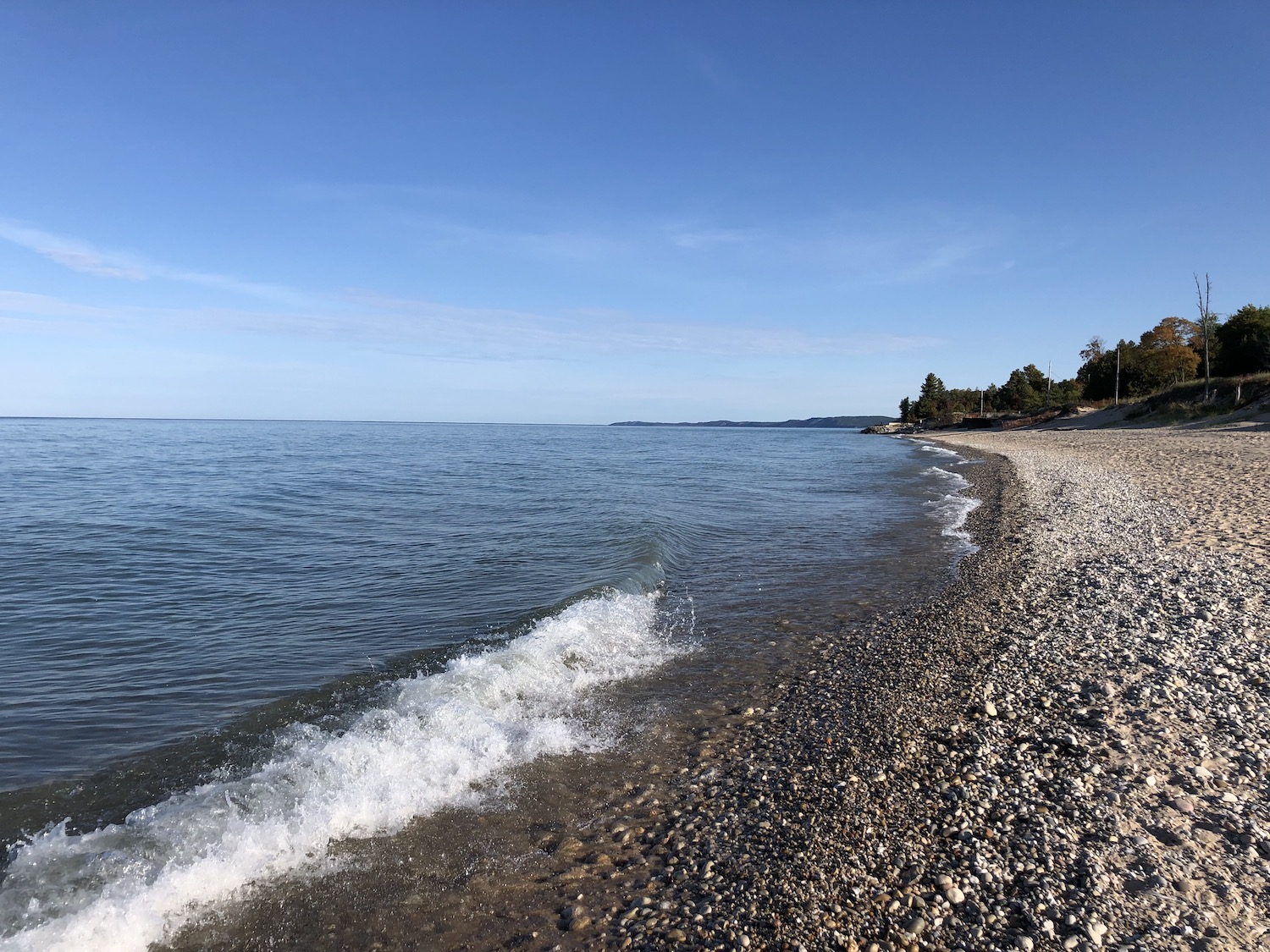
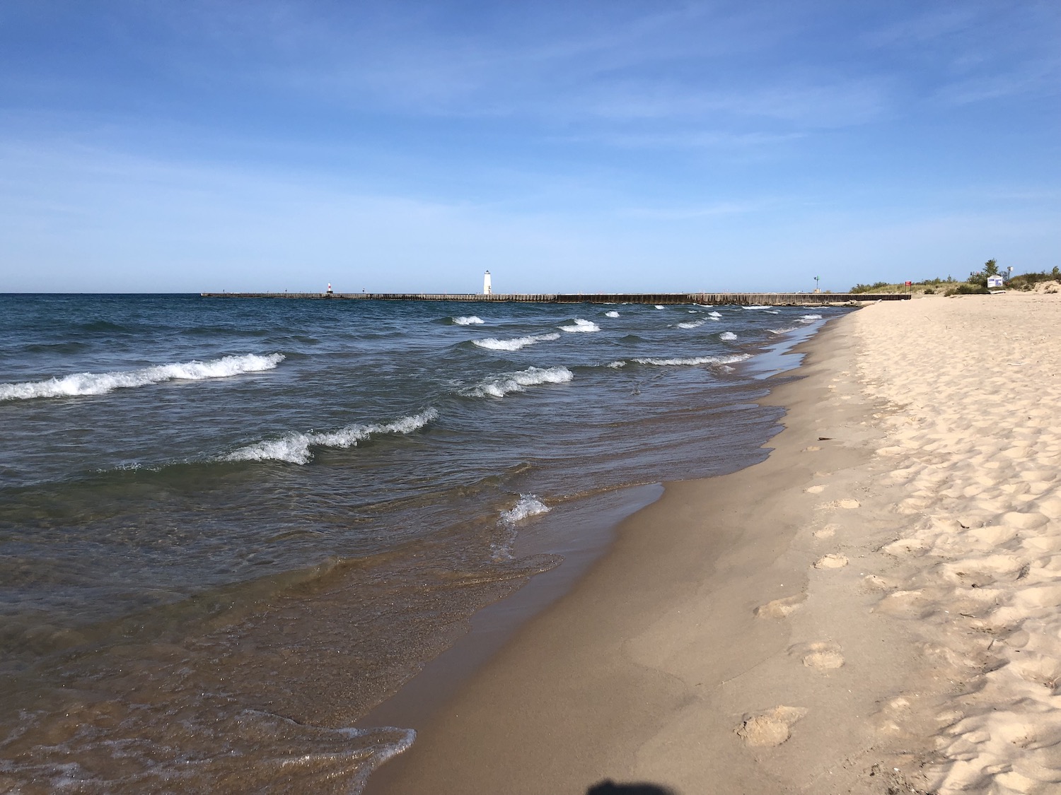
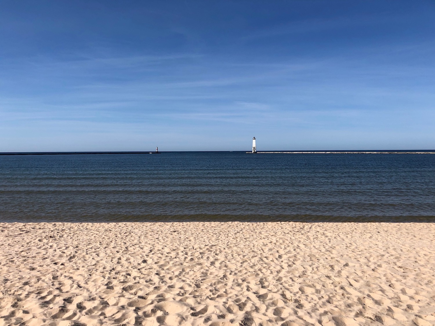
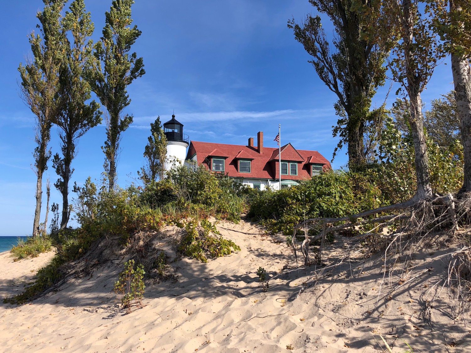
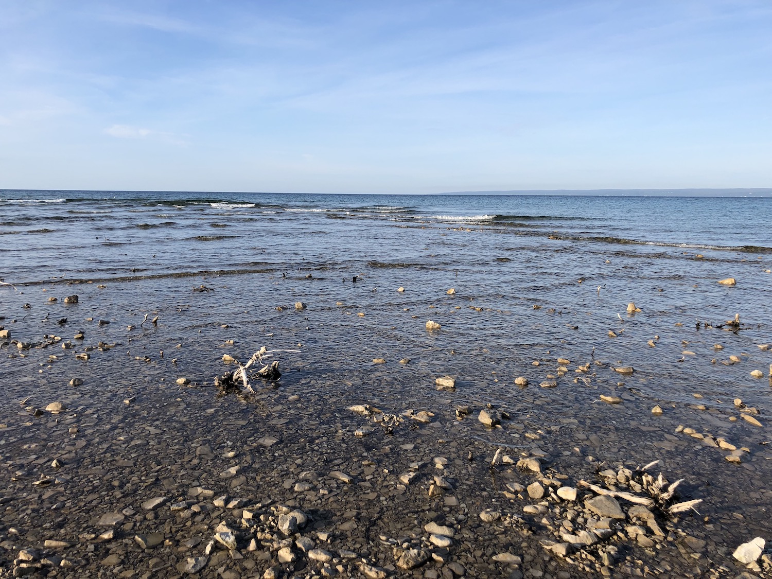
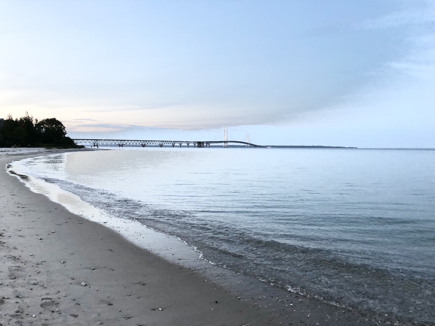
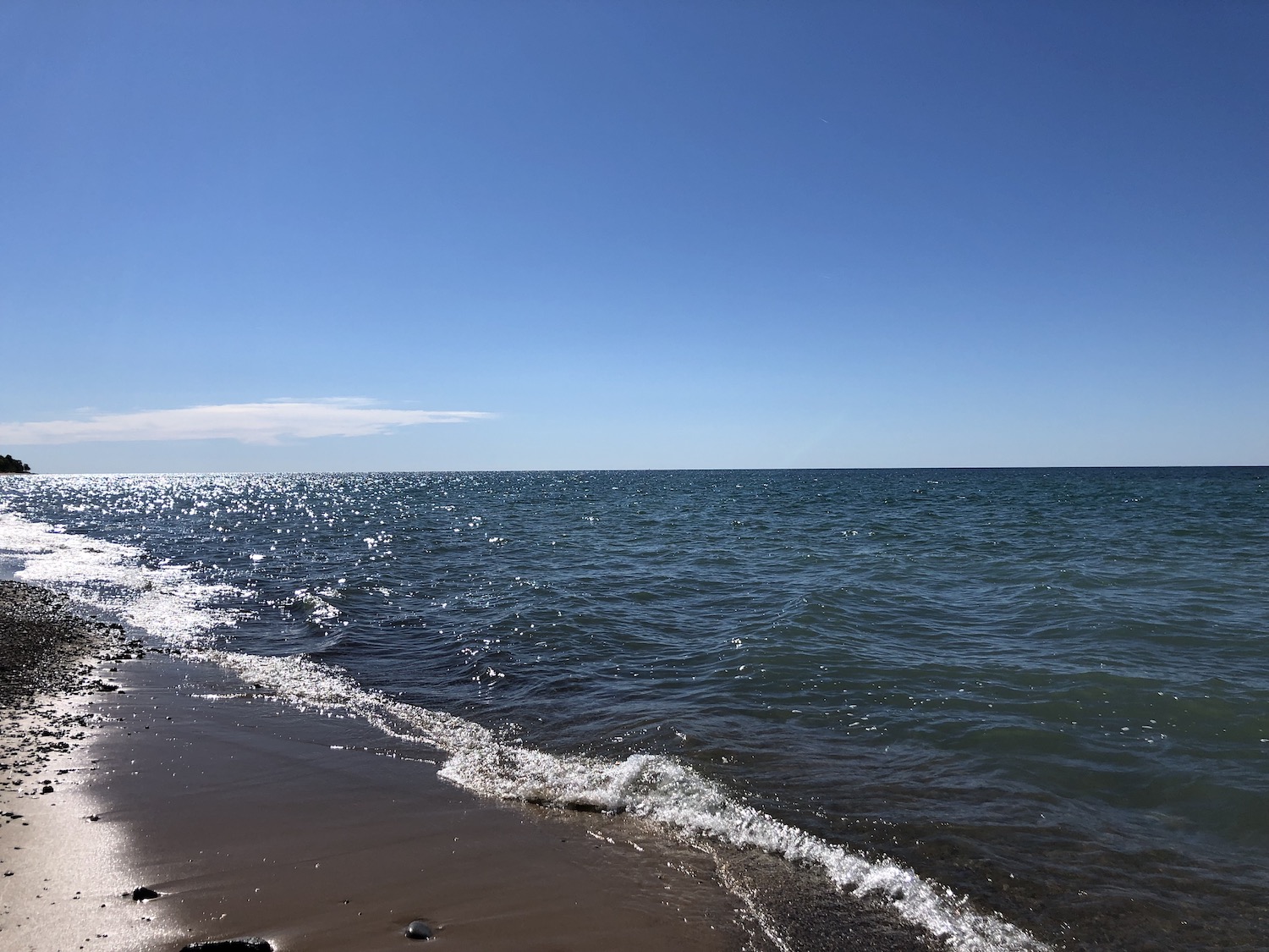
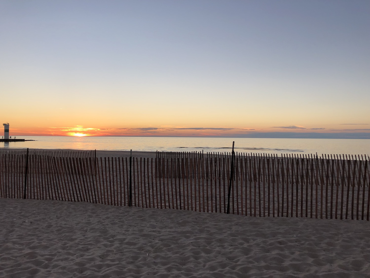
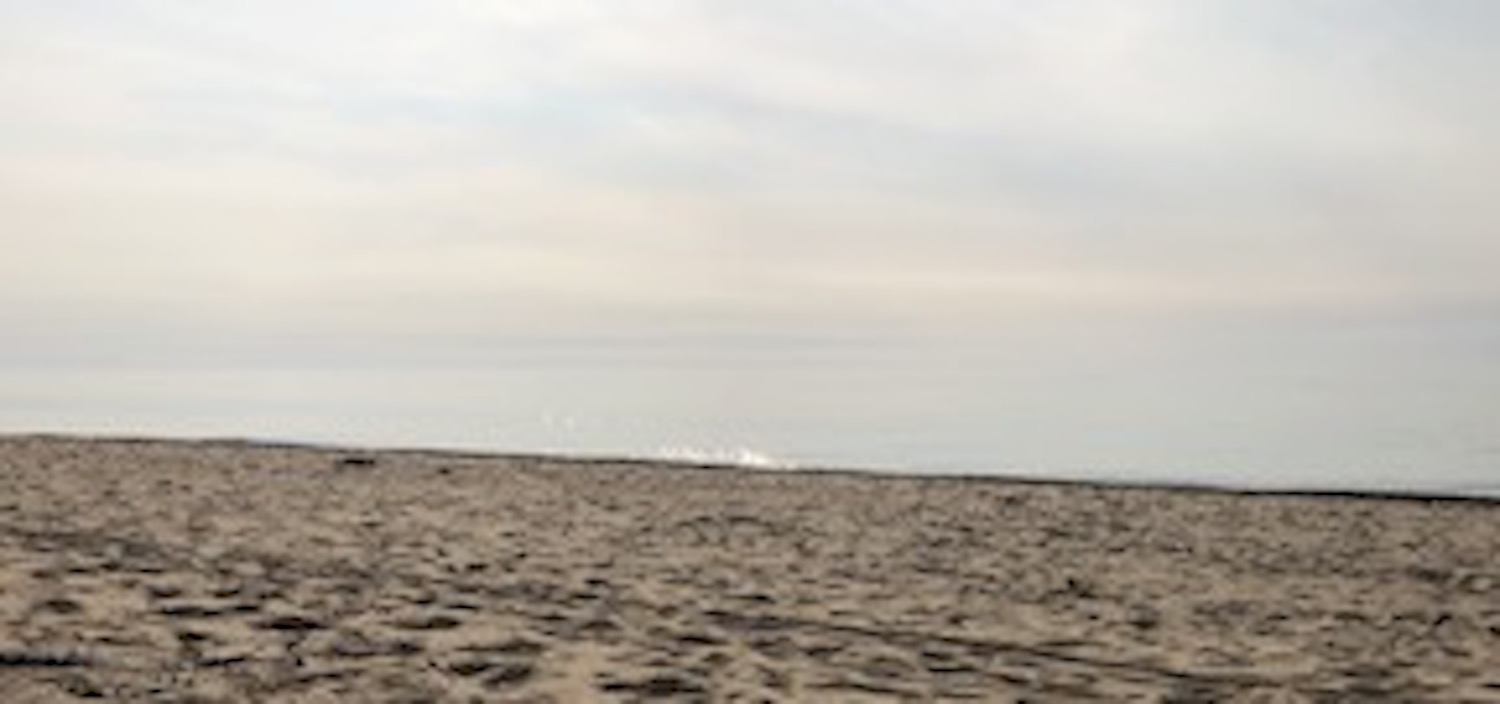
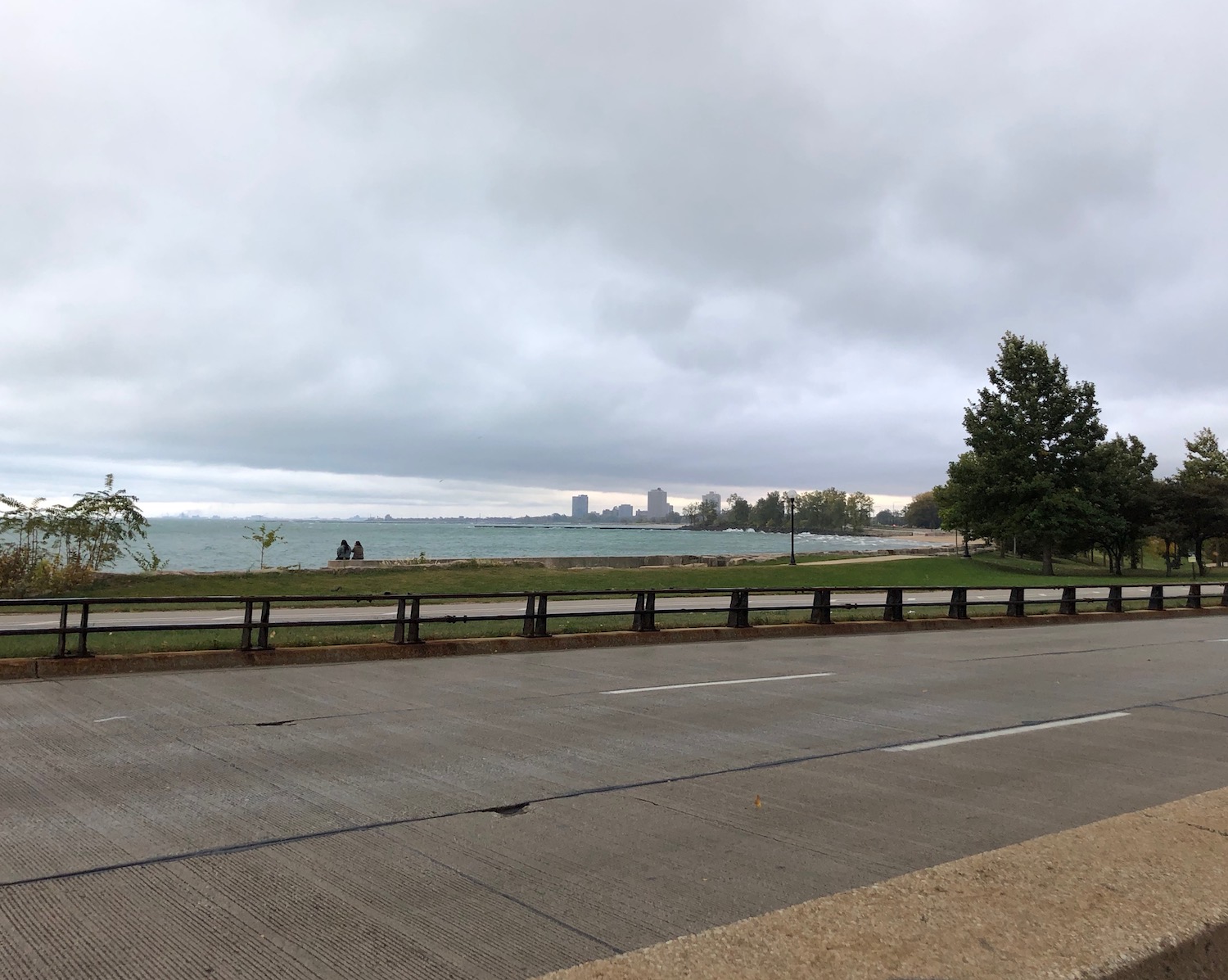
The sun was high when I bade farewell and continued on my Lake journey. I skirted Milwaukee to save it for another day, then headed east to the Lake at last and drove along an old highway that followed the shore. I sneaked into Racine from the north, technically in the Greater Milwaukee area, but it is certainly a city unto itself. I stopped at a park along the Lake just adjacent to their zoo and greeted the lapping waves. A lighthouse stood some distance to the north. The weather was clouding and the beach deserted, perfect for an intimate conversation with the Lake.
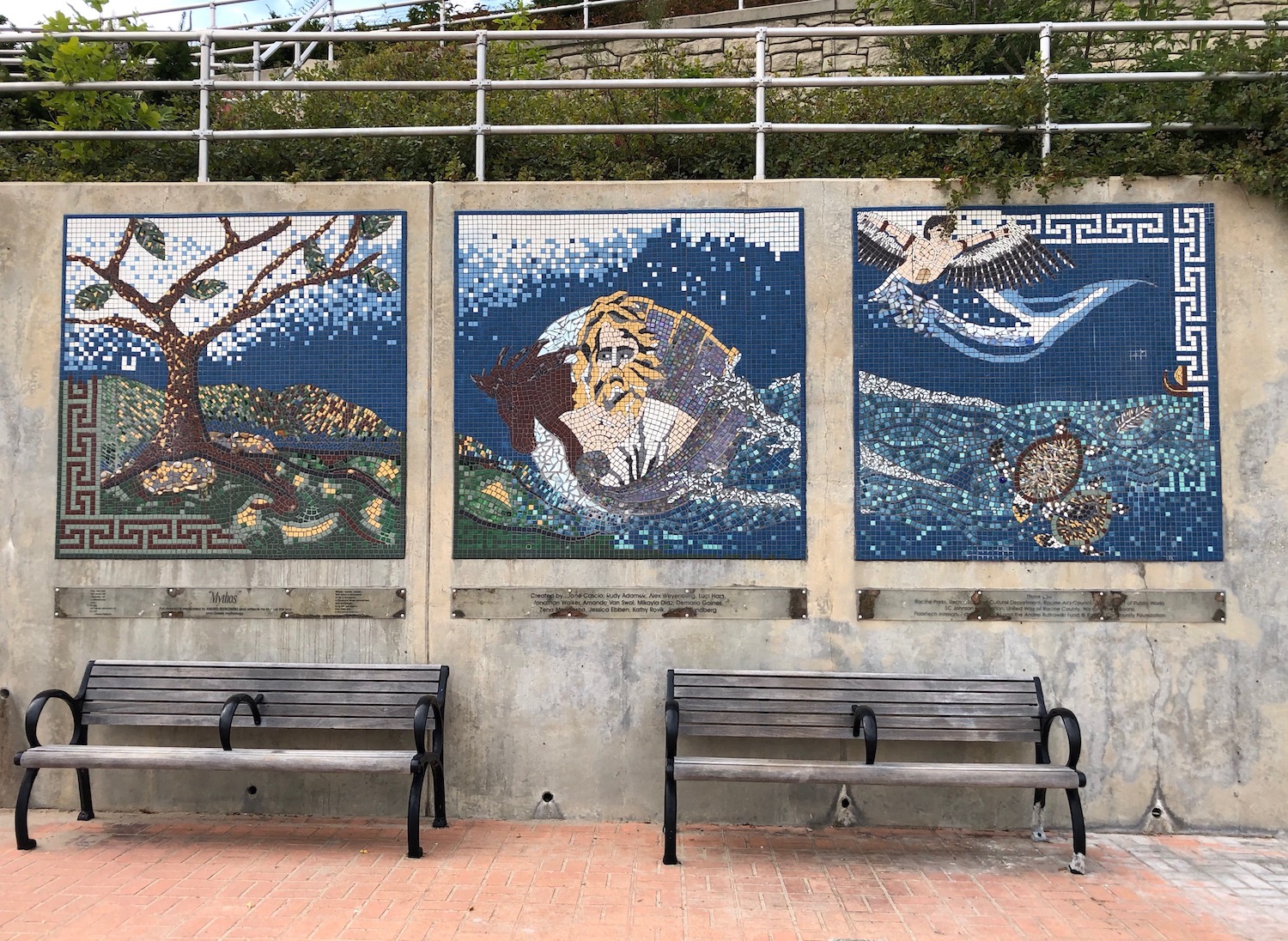
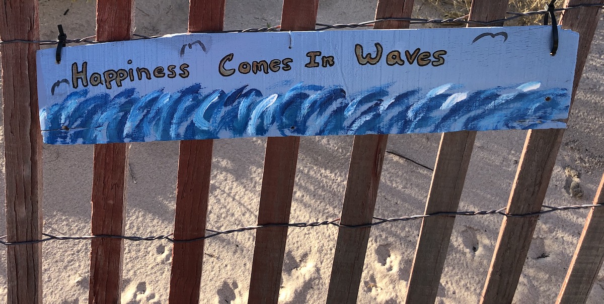
It seemed as if I could’ve walked for miles. The wall that faced the water holding back the sandy bluff was enlivened with numerous whimsical mosaic murals.
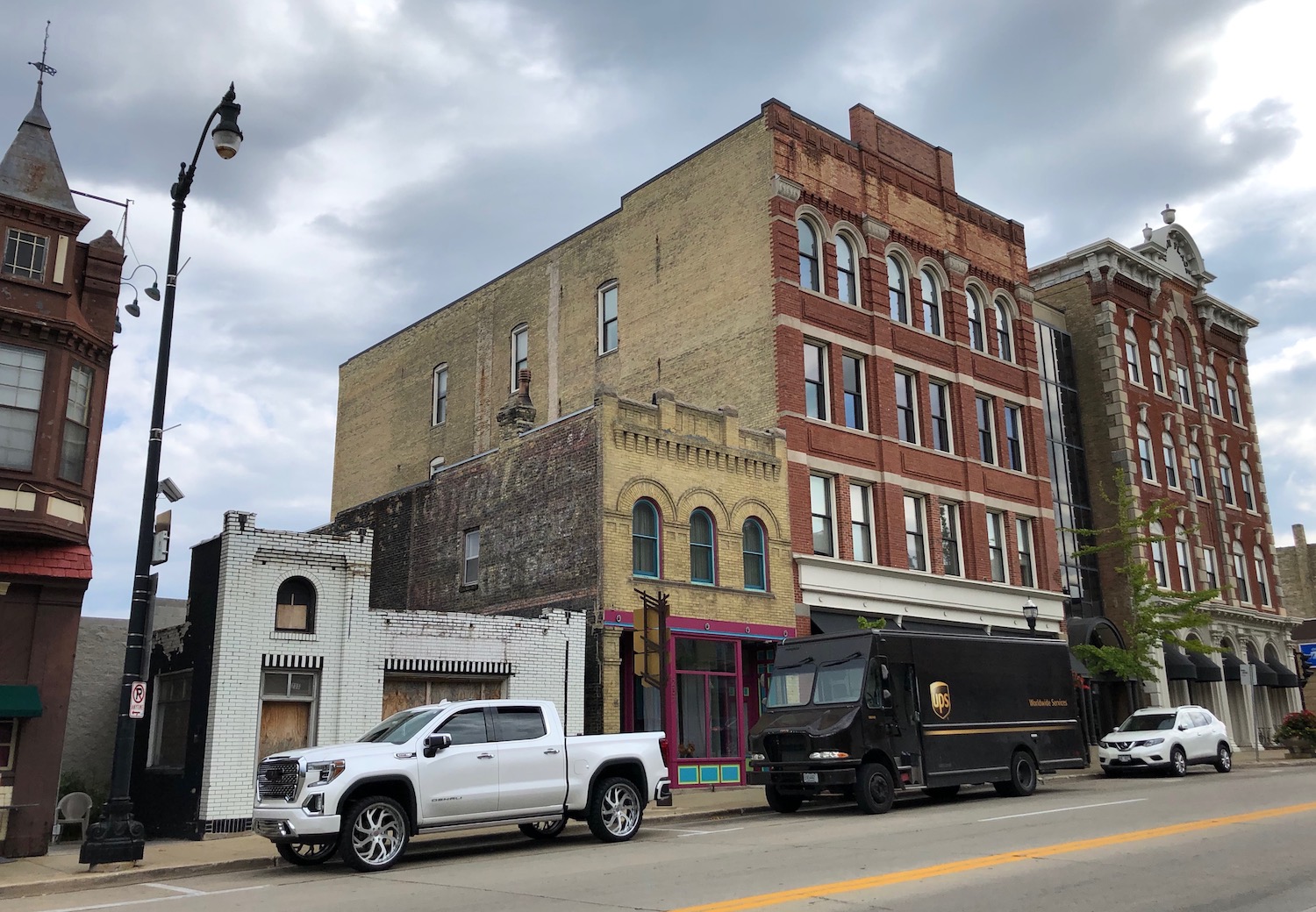
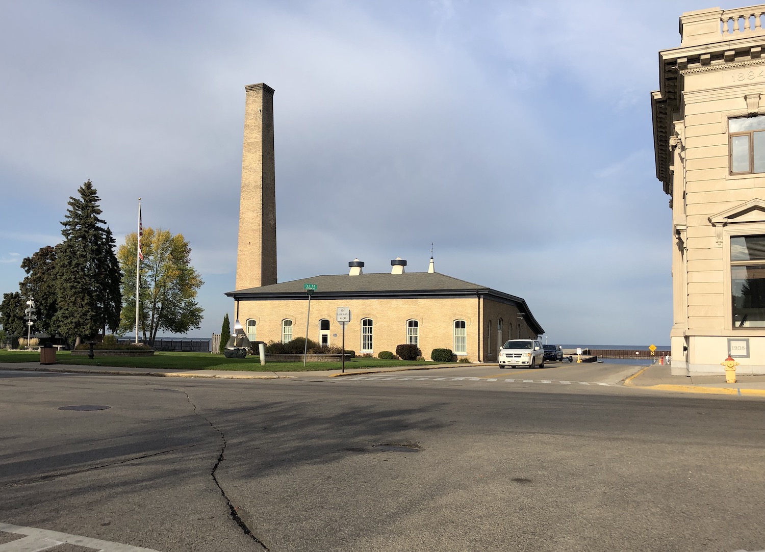
I drove through downtown Racine, whose abundance of historic buildings encouraged further exploration someday, then headed down Wisconsin 32, which follows the lakeshore pretty closely and, I was soon to learn, becomes Sheridan Road north of the Illinois line.
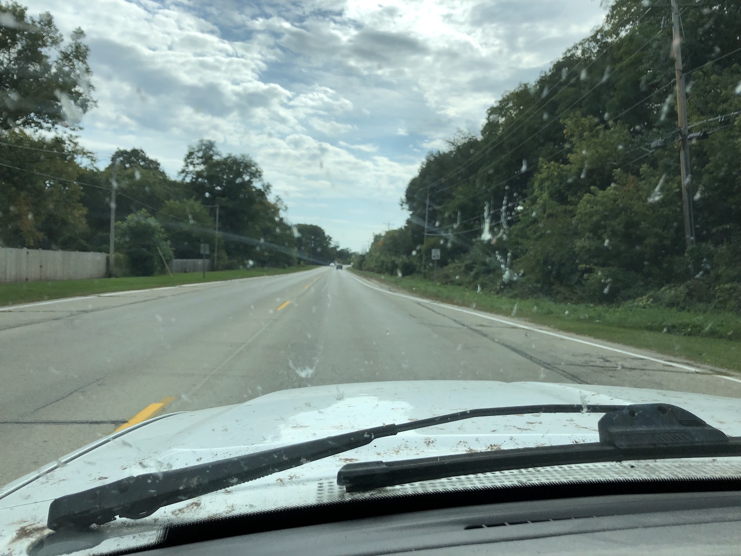
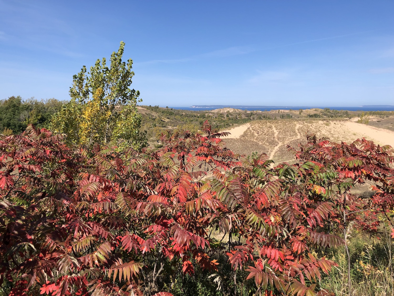
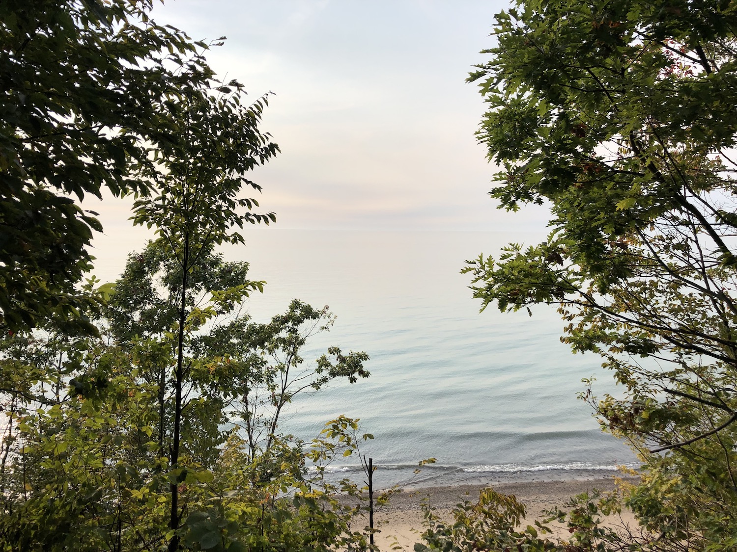
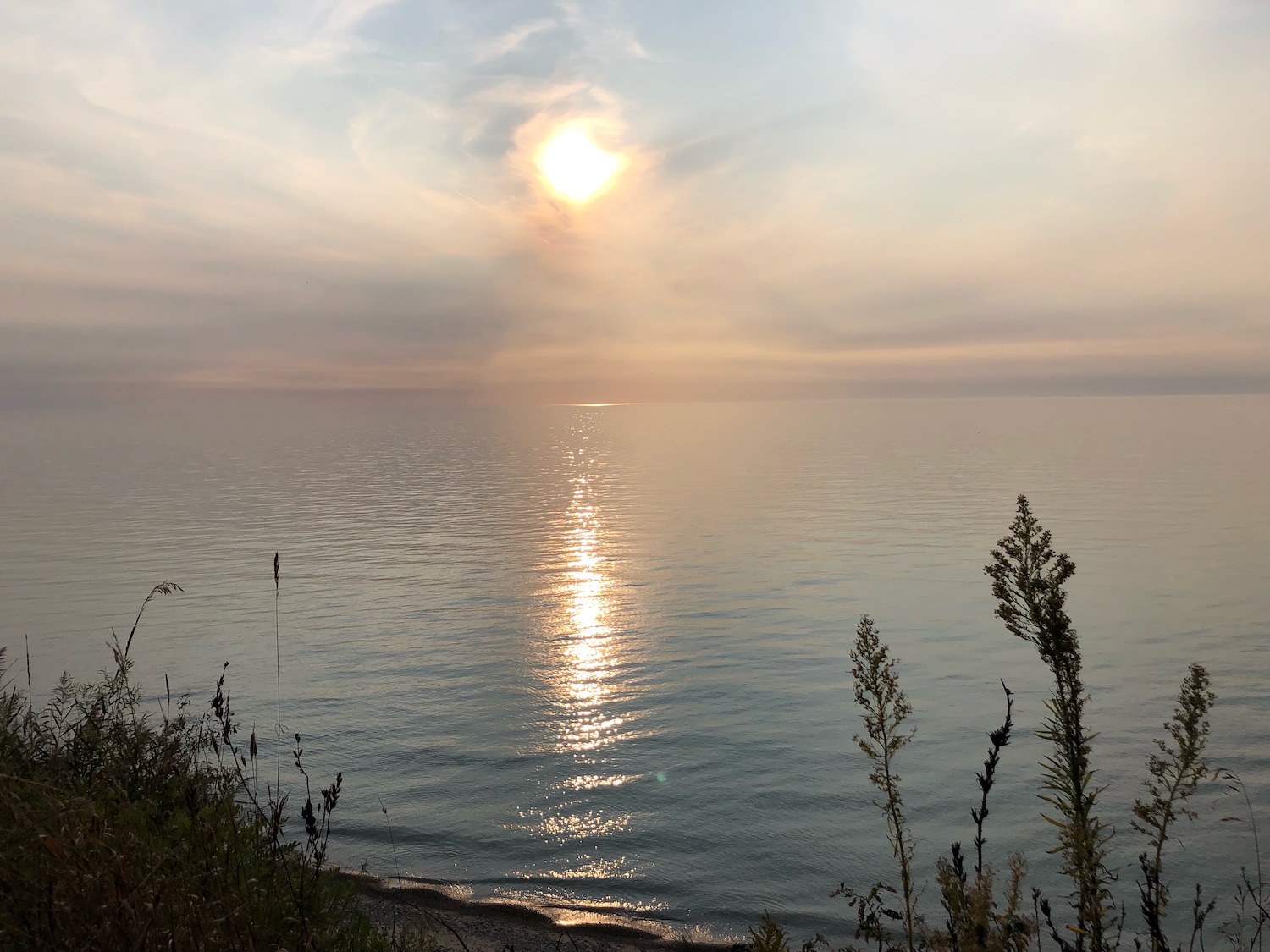
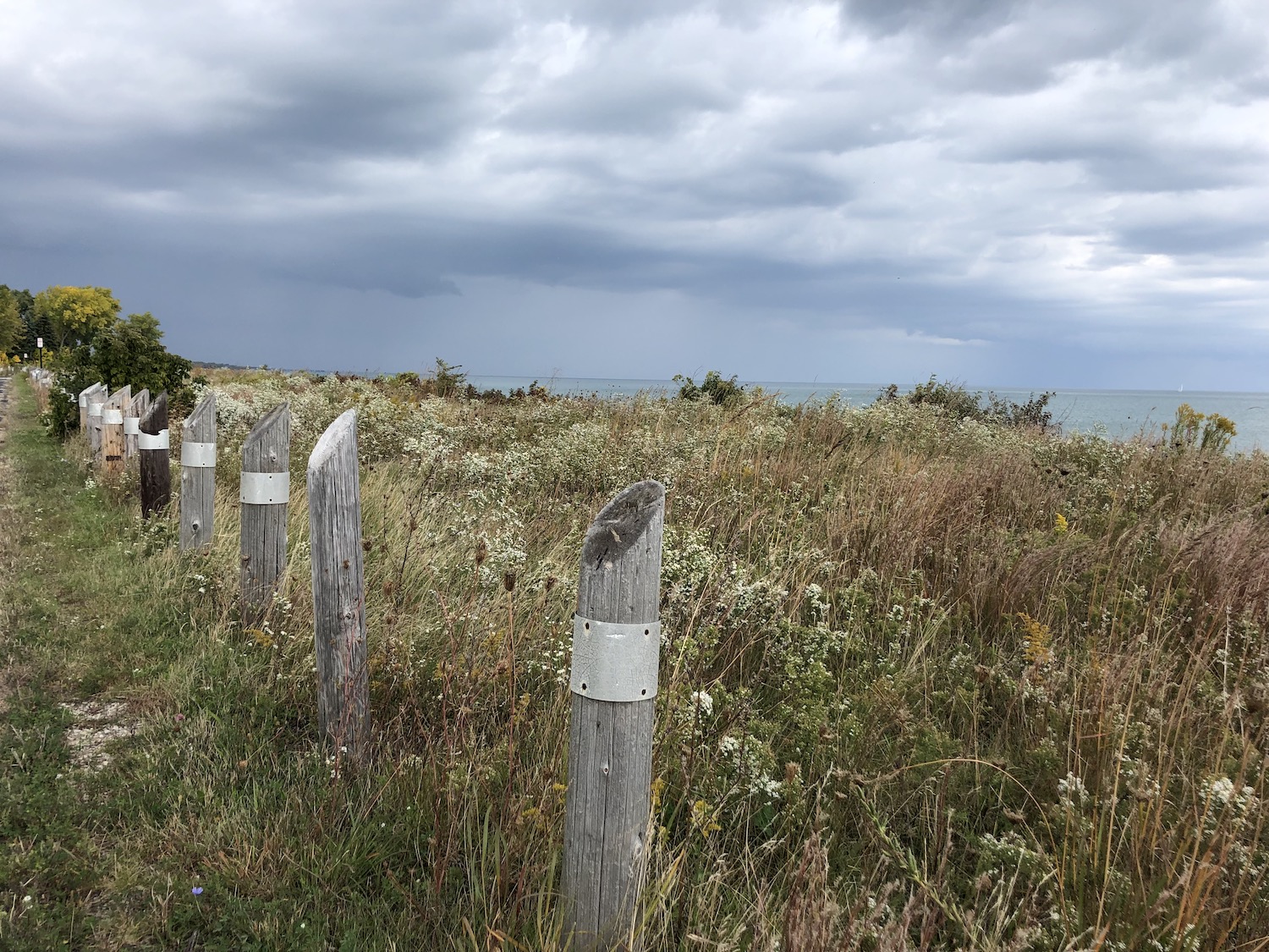
At times it was almost a corridor, wooded on both sides, very interesting if you know what you are seeing. Periodically there were deserted supper clubs, empty motels. Some of these places were purported to have gangland connections long ago. There was a stretch of restored prairie and I turned to get a closer view of the Lake along a road barely wide enough for a Model T. The brooding and indecisive sky made the landscape eerily beautiful.
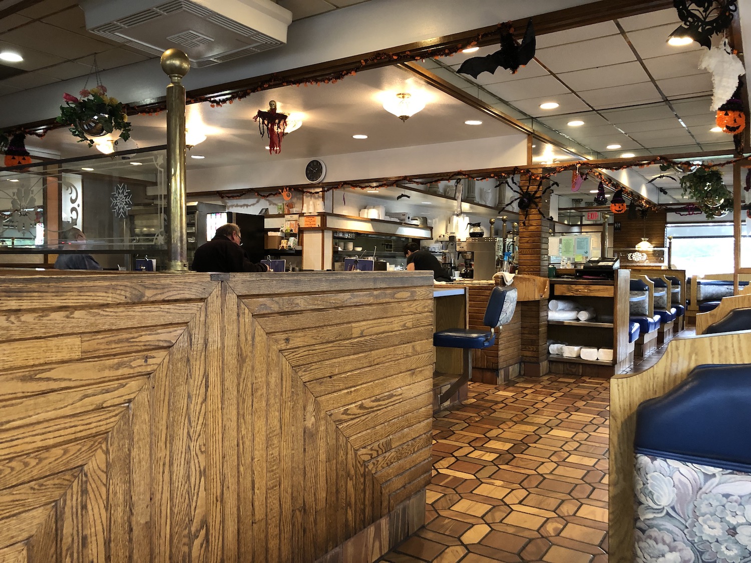
I drove through Kenosha, a moderately large town close to the border, passed a few diners and finally stopped for lunch at Bob & Anne’s Restaurant somewhere over the Illinois line, near Waukegan. The waitress, who probably had worked there for years, called me “honey” and the food was delicious. But while inside, the skies opened and I realized my journey was now to be more of a slog, although the actual rain was on and off.
I was determined to stay on Sheridan Road, which I remembered driving periodically years before when I lived at the far north edge of Chicago. That was not such an easy task; there were many more turns than I remembered, and my determination became grim.
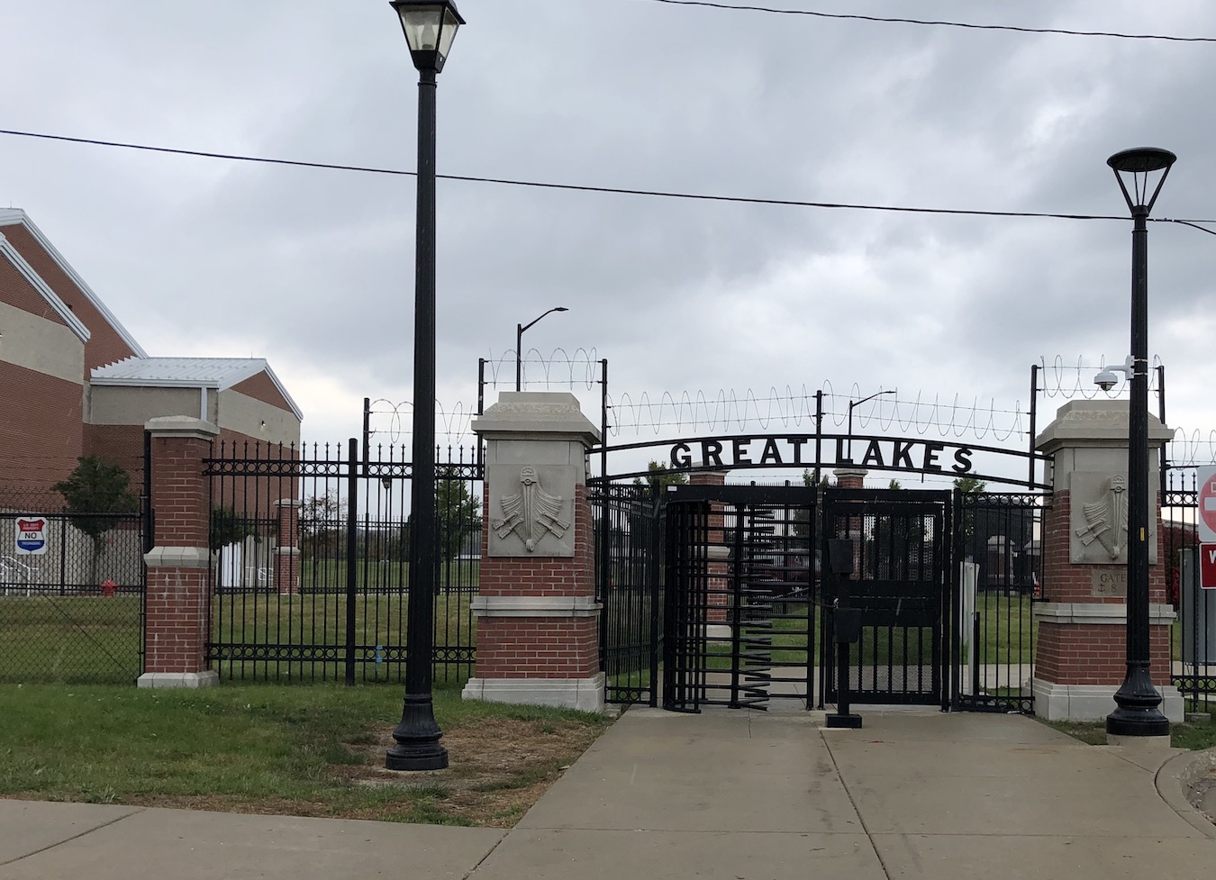
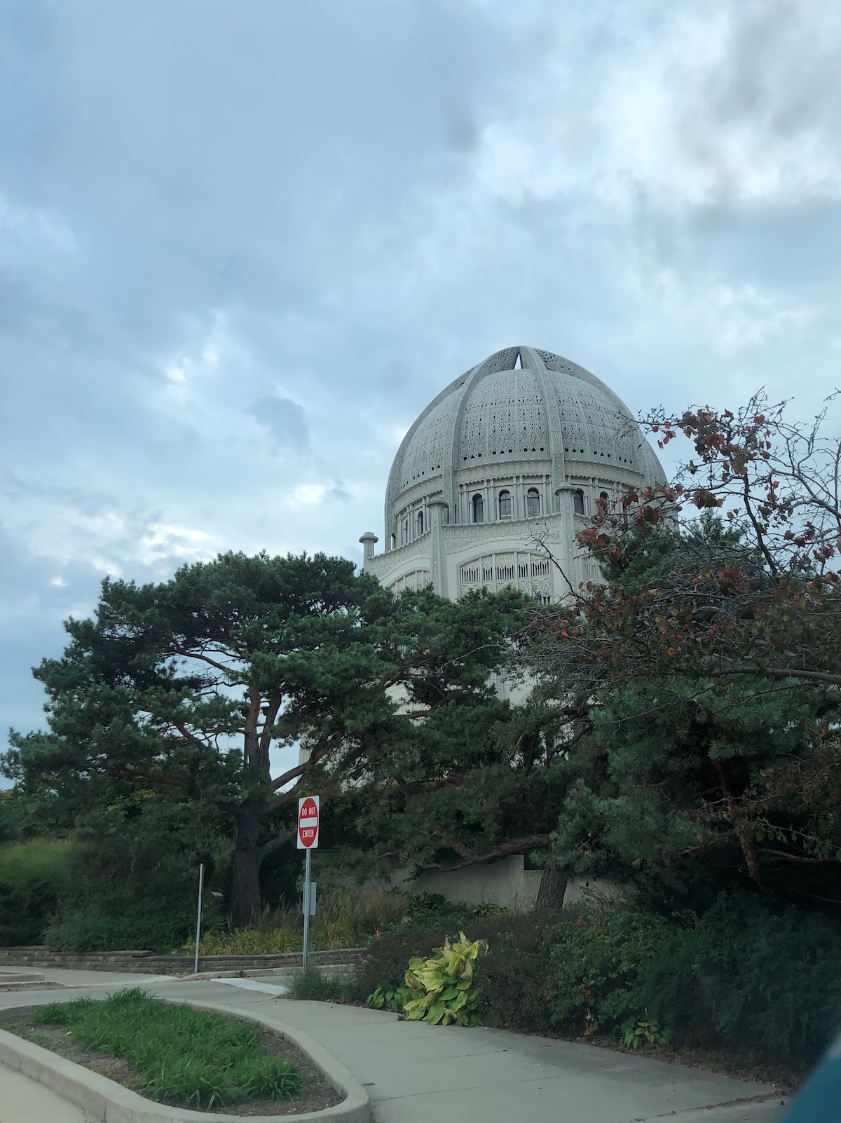
I did pass Great Lakes Naval Training Center where my dad entered the Navy before World War II, but it appeared impenetrable, and besides, it was raining again. Passed through all those fancy northern suburbs–Lake Forest, Highland Park, the road abruptly turning this way and that, often with the Lake too far to view. I lost the route a few times. I don’t remember its being this convoluted! Suddenly on my right loomed the Baha’i Temple, completed in 1953 in Wilmette near the shore. When I lived in Chicago, I drove up to it often and took people to visit; it is a gloriously spritiual, mystical place filled with light and wonder.
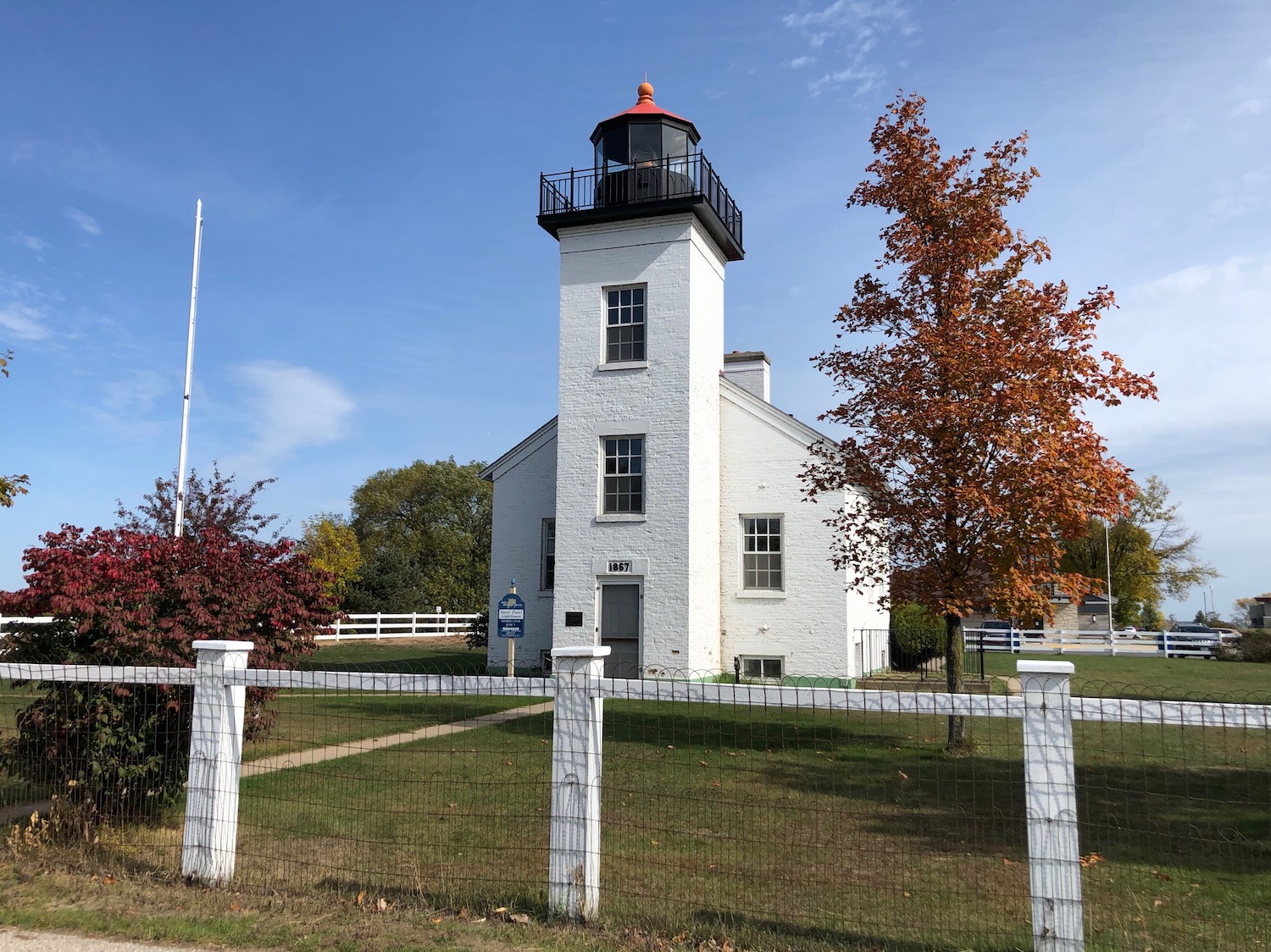
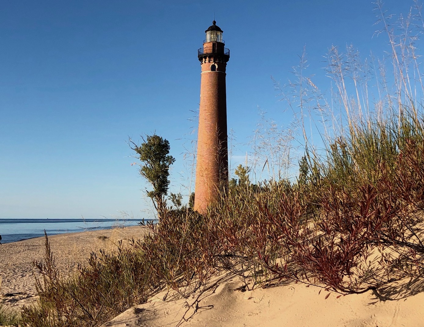
At least now I had an inkling where I was and knew Chicago was nigh. First I had to meander through Evanston, passing the 1873 Grosse Point Lighthouse complex–how intriguing!
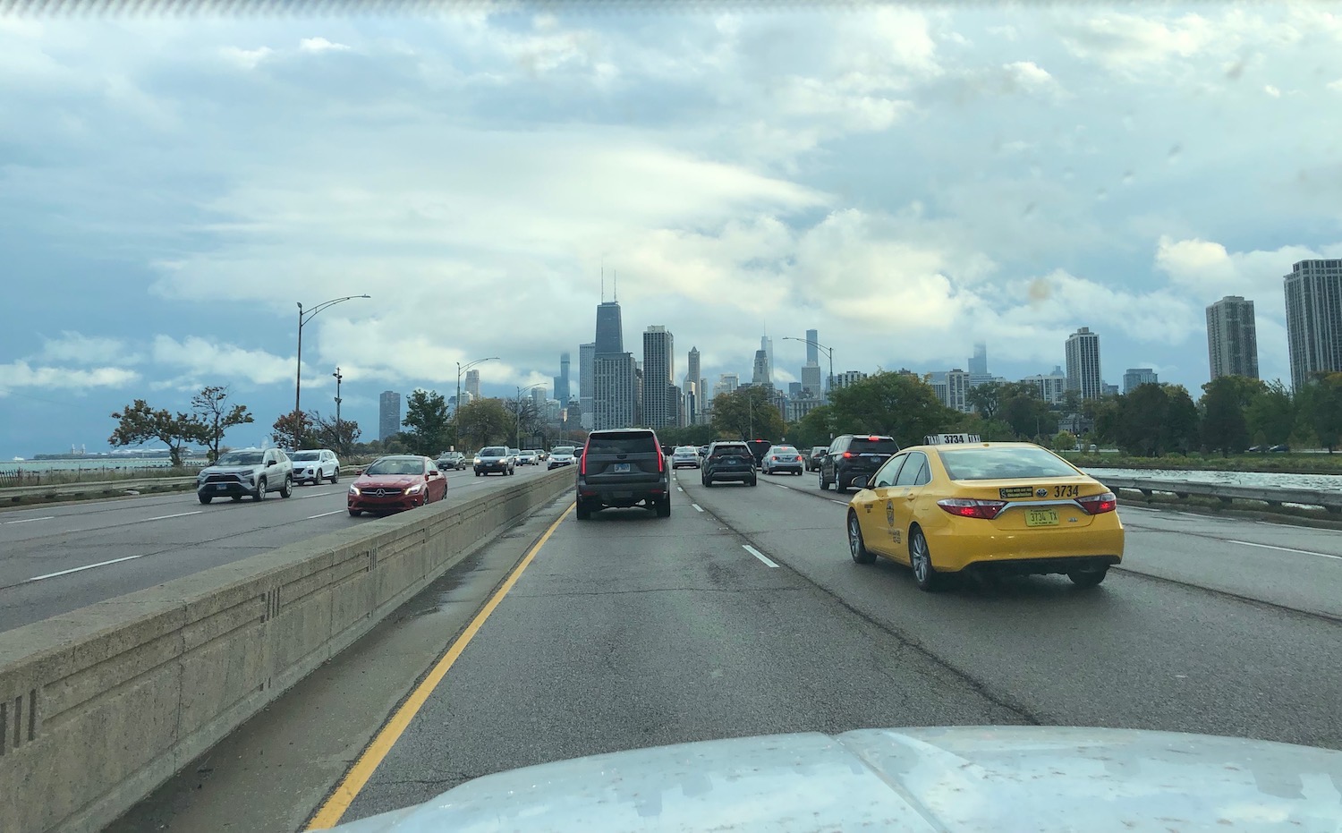
At last I reached the Chicago city limits: Rogers Park, where once I lived. I recognized almost nothing; Sheridan Road is now lined wall-to-wall with highrise apartment buildings and condos. And the traffic was at a standstill. Yes, it was rush hour, but after all, I was heading INTO the city, not out of it. It took close to an hour to reach the fabled Lake Shore Drive, which still retains its magic, with Chicago’s Gold Coast (is that name still used?) and the Loop, looming Oz-like ahead. The Lake roared and snarled off to my left.
I finally swung around the Loop and through the edge of Grant Park, another traffic mess, but still–the Lake! And more rain. The temperature also was falling rapidly.
The Outer Drive–which my grandfather, a heavy equipment operator, helped to construct in the 1920s–is mostly tree-lined with the Lake beyond. The divided highway extends farther south now than when I last followed it. and I was on US41. By the time this new route petered out and became city again, old and gritty and interesting, night had fallen and the rain intensified. I lost 41 around 99th Street but found it again shortly before reaching Indiana. That part of 41 is endless at any time, but the dark and the rain made it more so. Reached I-94 and took the interstates home, filled with Lake dreams.